State Park · Arkansas
Cossatot River State Park-Natural Area
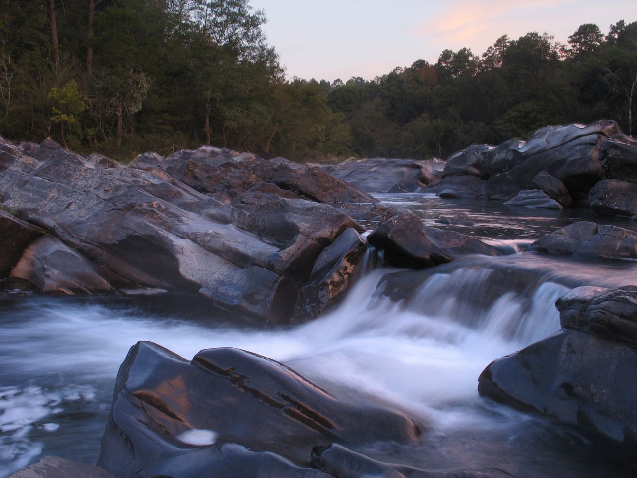
- Location
- Howard County, Arkansas
- Nearest town
- 15 miles northwest of Dierks
- Type
- State Park
About Cossatot River State Park-Natural Area
Acquired from the Weyerhaeuser Corporation, the land came under joint management by the Arkansas Department of Parks and Tourism and the Arkansas Natural Heritage Commission when the park was formed. It spans 5,299.65 acres across Howard and Polk counties and follows 12.5 rough, undeveloped miles of the Cossatot River. That river is listed in Arkansas's Natural and Scenic Rivers System and the National Wild and Scenic Rivers list, with Class III, IV, and V rapids drawing skilled canoeists, kayakers, and playboaters.
Hours, fees, camping, reservations and closures are set by the park and change often. Check the official park site before you go.
Getting there
Cossatot River State Park-Natural Area is in Howard County, Arkansas, 15 miles northwest of Dierks. The Directions button takes you to the park's mapped location; the entrance may be elsewhere, so check the official site for the address to use.
State parks near Cossatot River State Park-Natural Area
Within 60 miles, closest first, straight-line. All 41 in Arkansas →
- Daisy State ParkState Park · Pike County, AR25 miE
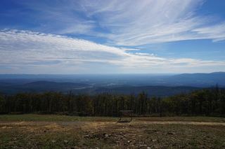 Queen Wilhelmina State ParkState Park · Polk County, AR29 miNW
- Hochatown State ParkState Park · McCurtain County, OK33 miW
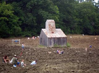 Crater of Diamonds State ParkState Park · Pike County, AR34 miSE
- Millwood State ParkState Park · Little River County, AR44 miS
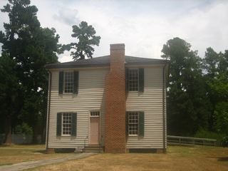 Historic Washington State ParkState Park · Hempstead County, AR46 miSE
- Heavener Runestone State ParkState Park · Le Flore County, OK48 miNW
 Lake Wister State ParkState Park · Le Flore County, OK55 miNW
- Talimena State ParkState Park · Le Flore County, OK56 miNW
Facts from Wikidata, checked September 25, 2026. Distances are straight-line.