State Historic Site · California
Anderson Marsh State Historic Park
- Location
- Lake County, California
- Nearest town
- 1.2 miles northwest of Lower Lake
- Type
- State Historic Site
About Anderson Marsh State Historic Park
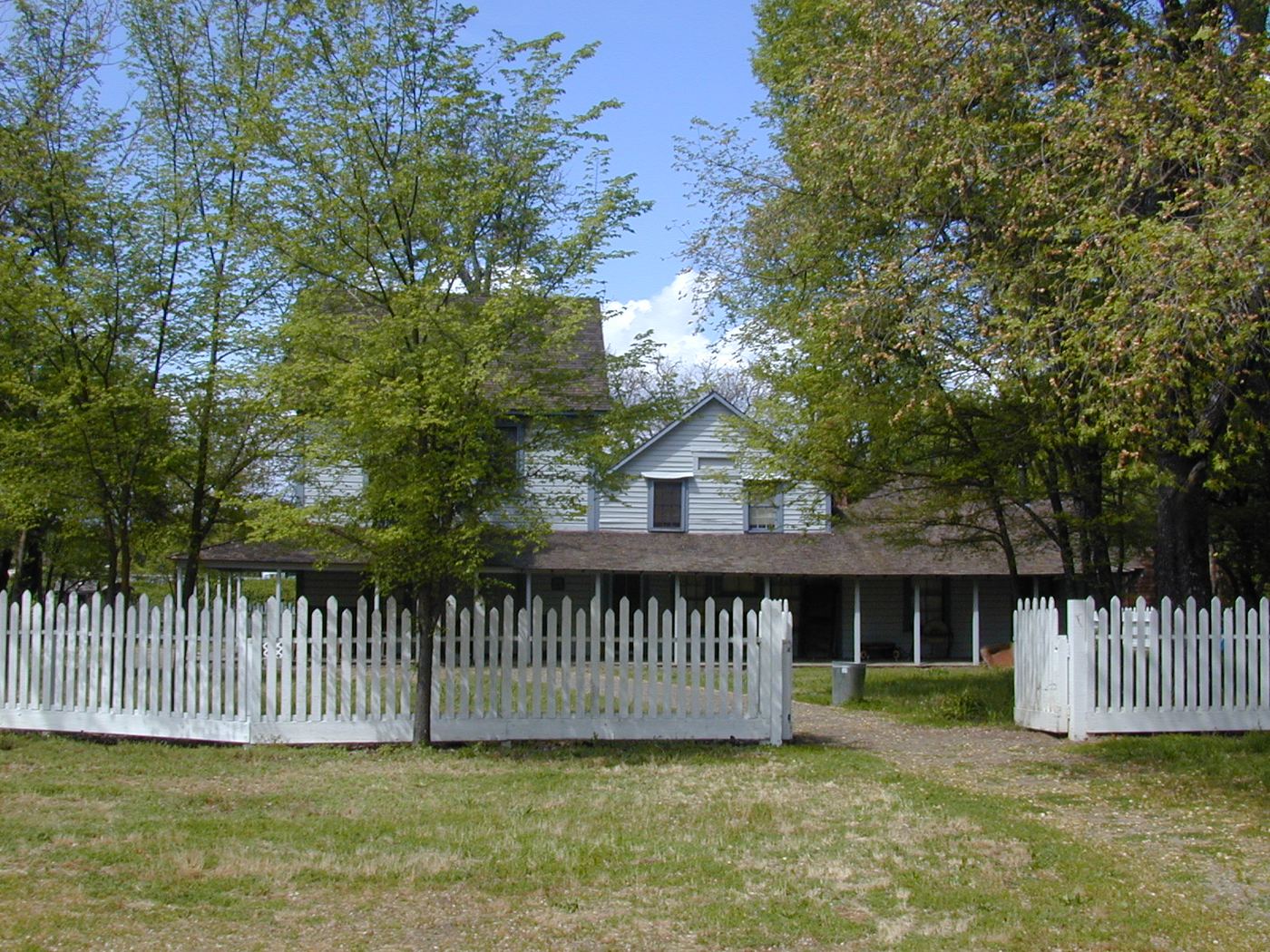
A tule marsh sits at the head of Cache Creek where it meets Clear Lake, the largest natural lake lying entirely within California. The park preserves this wetland along with archaeological sites left by the Pomo people and a group of historic ranch buildings. It occupies the southeast corner of the lake, between Lower Lake and Clearlake on State Route 53.
Hours, fees, camping, reservations and closures are set by the park and change often. Check the official park site before you go.
Getting there
Anderson Marsh State Historic Park is in Lake County, California, 1.2 miles northwest of Lower Lake. The Directions button takes you to the park's mapped location; the entrance may be elsewhere, so check the official site for the address to use.
State parks near Anderson Marsh State Historic Park
Within 60 miles, closest first, straight-line. All 213 in California →
 Clear Lake State ParkState Park · Lake County, CA12 miNW
 Robert Louis Stevenson State ParkState Park · Napa County, CA19 miS
 Bothe–Napa Valley State ParkState Park · Napa County, CA26 miS
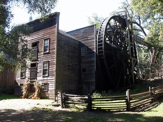 Bale Grist Mill State Historic ParkState Historic Site · Napa County, CA27 miS
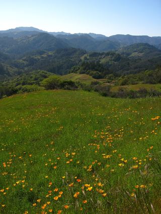 Austin Creek State Recreation AreaState Recreation Area · Sonoma County, CA34 miSW
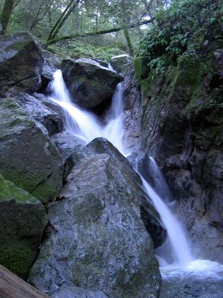 Sugarloaf Ridge State ParkState Park · Sonoma County, CA34 miS
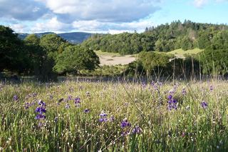 Trione-Annadel State ParkState Park · Sonoma County, CA34 miS
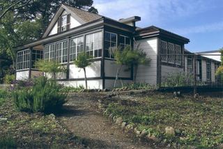 Jack London State Historic ParkState Historic Site · Sonoma County, CA40 miS
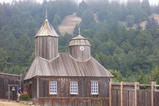 Fort Ross State Historic ParkState Historic Site · Sonoma County, CA44 miSW
Towns near Anderson Marsh State Historic Park
State parks near Clearlake, State parks near Santa Rosa, State parks near Ukiah, State parks near Sonoma, State parks near Woodland
Facts from Wikidata, checked September 25, 2026. Distances are straight-line.