State Recreation Area · California
Benicia State Recreation Area
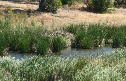
- Location
- Solano County, California
- Nearest town
- 1.8 miles northeast of Crockett
- Type
- State Recreation Area
About Benicia State Recreation Area
Marsh, grassy hillsides and rocky beaches line the narrowest stretch of the Carquinez Strait here, covering 447 acres between Benicia and Vallejo's Glen Cove neighborhood. Southampton Creek and its tidal marsh feed into Southampton Bay, where the combined flow of the Sacramento and San Joaquin Rivers moves toward San Pablo Bay. The land protects tidal wetland along this shoreline.
Hours, fees, camping, reservations and closures are set by the park and change often. Check the official park site before you go.
Getting there
Benicia State Recreation Area is in Solano County, California, 1.8 miles northeast of Crockett. The Directions button takes you to the park's mapped location; the entrance may be elsewhere, so check the official site for the address to use.
State parks near Benicia State Recreation Area
Within 60 miles, closest first, straight-line. All 213 in California →
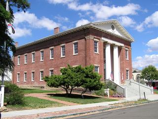 Benicia Capitol State Historic ParkState Historic Site · Solano County, CA2.5 miSE
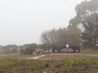 McLaughlin Eastshore State ParkState Park · Alameda County, CA16 miSW
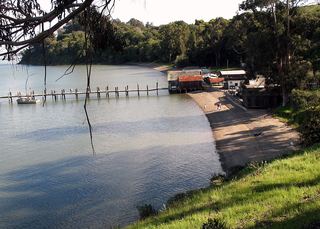 China Camp State ParkState Park · Marin County, CA17 miW
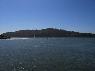 Angel Island State ParkState Park · San Francisco County, CA19 miSW
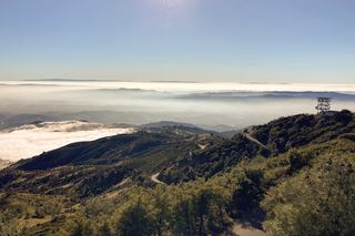 Mount Diablo State ParkState Park · Contra Costa County, CA20 miSE
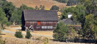 Olompali State Historic ParkState Historic Site · Marin County, CA21 miW
- Sonoma State Historic ParkState Historic Site · Sonoma County, CA21 miNW
 Mount Tamalpais State ParkState Park · Marin County, CA24 miSW
- Petaluma Adobe State Historic ParkState Historic Site · Sonoma County, CA25 miNW
Towns near Benicia State Recreation Area
State parks near Vallejo, State parks near Concord, State parks near Fairfield, State parks near San Rafael, State parks near Sonoma, State parks near San Francisco
Facts from Wikidata, checked September 25, 2026. Distances are straight-line.