State Park · California
Salt Point State Park
- Location
- Sonoma County, California
- Nearest town
- 12 miles southeast of Sea Ranch
- Type
- State Park
About Salt Point State Park
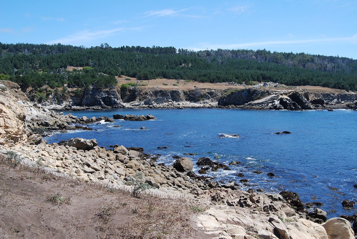
Rocky coastline stretches for more than six miles here, with Salt Point itself jutting out into the Pacific and waves continuously reshaping the sandstone formations along the shore. The park spans 6,000 acres and includes 20 miles of hiking trails, plus one of the first underwater preserves established in California, where the submerged rock formations support varied marine habitats. Fishing and scuba diving are among the activities available. Fog and cold wind are common even in summer months.
Hours, fees, camping, reservations and closures are set by the park and change often. Check the official park site before you go.
Getting there
Salt Point State Park is in Sonoma County, California, 12 miles southeast of Sea Ranch. The Directions button takes you to the park's mapped location; the entrance may be elsewhere, so check the official site for the address to use.
State parks near Salt Point State Park
Within 60 miles, closest first, straight-line. All 213 in California →
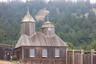 Fort Ross State Historic ParkState Historic Site · Sonoma County, CA6.1 miSE
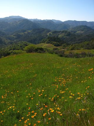 Austin Creek State Recreation AreaState Recreation Area · Sonoma County, CA15 miE
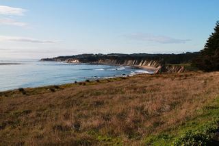 Schooner Gulch State BeachState Beach · Mendocino County, CA27 miNW
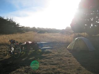 Manchester State ParkState Park · Mendocino County, CA35 miNW
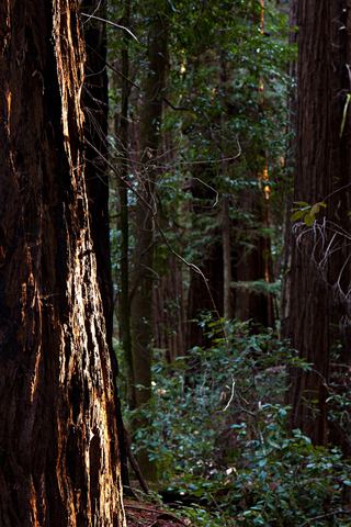 Hendy Woods State ParkState Park · Mendocino County, CA35 miN
- Marconi Conference Center State Historic ParkState Historic Site · Marin County, CA38 miSE
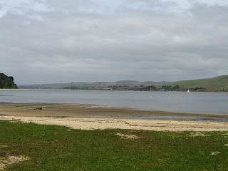 Tomales Bay State ParkState Park · Marin County, CA39 miSE
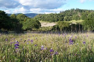 Trione-Annadel State ParkState Park · Sonoma County, CA39 miE
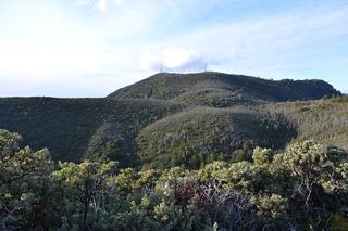 Robert Louis Stevenson State ParkState Park · Napa County, CA39 miE
Towns near Salt Point State Park
State parks near Santa Rosa, State parks near Ukiah, State parks near Clearlake
Facts from Wikidata, checked September 25, 2026. Distances are straight-line.