State Park · Connecticut
Windsor Meadows State Park
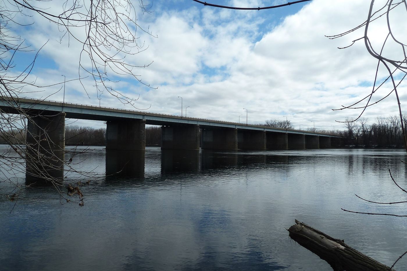
- Location
- Hartford County, Connecticut
- Nearest town
- 1.3 miles west of South Windsor
- Type
- State Park
About Windsor Meadows State Park
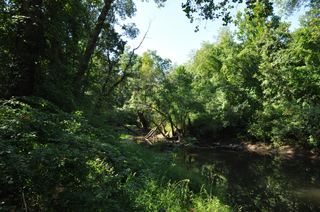
Three separate tracts totaling 155 acres, spread across parcels of 48, 19, and 88 acres, make up this largely undeveloped park along the Connecticut River. The land sits pinched between railroad tracks and the riverbank, with no significant development across its sections. Visitors can picnic, fish, boat, hike, or bike within these river corridor tracts.
Hours, fees, camping, reservations and closures are set by the park and change often. Check the official park site before you go.
Getting there
Windsor Meadows State Park is in Hartford County, Connecticut, 1.3 miles west of South Windsor. The Directions button takes you to the park's mapped location; the entrance may be elsewhere, so check the official site for the address to use.
State parks near Windsor Meadows State Park
Within 60 miles, closest first, straight-line. All 94 in Connecticut →
 Talcott Mountain State ParkState Park · Hartford County, CT7.5 miW
 Penwood State ParkState Park · Hartford County, CT7.5 miNW
 Stratton Brook State ParkState Park · Hartford County, CT10 miW
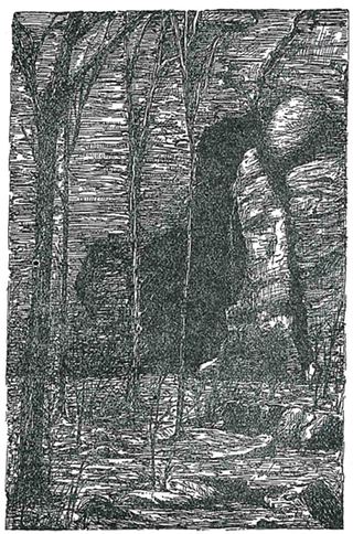 Bolton Notch State ParkState Park · Tolland County, CT10 miE
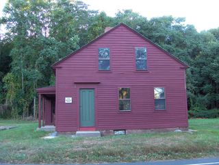 Horse Guard State ParkState Park · Hartford County, CT11 miW
 Dinosaur State Park and ArboretumState Park · Hartford County, CT12 miS
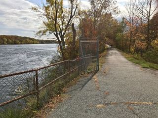 Windsor Locks Canal State Park TrailState Park · Hartford County, CT12 miN
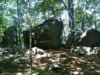 Gay City State ParkState Park · Tolland County, CT12 miSE
 Scantic River State ParkState Park · Hartford County, CT13 miNE
Towns near Windsor Meadows State Park
State parks near Hartford, State parks near Springfield, State parks near Mansfield City, State parks near West Torrington, State parks near Waterbury, State parks near Norwich
Facts from Wikidata, checked September 25, 2026. Distances are straight-line.