State Park · Florida
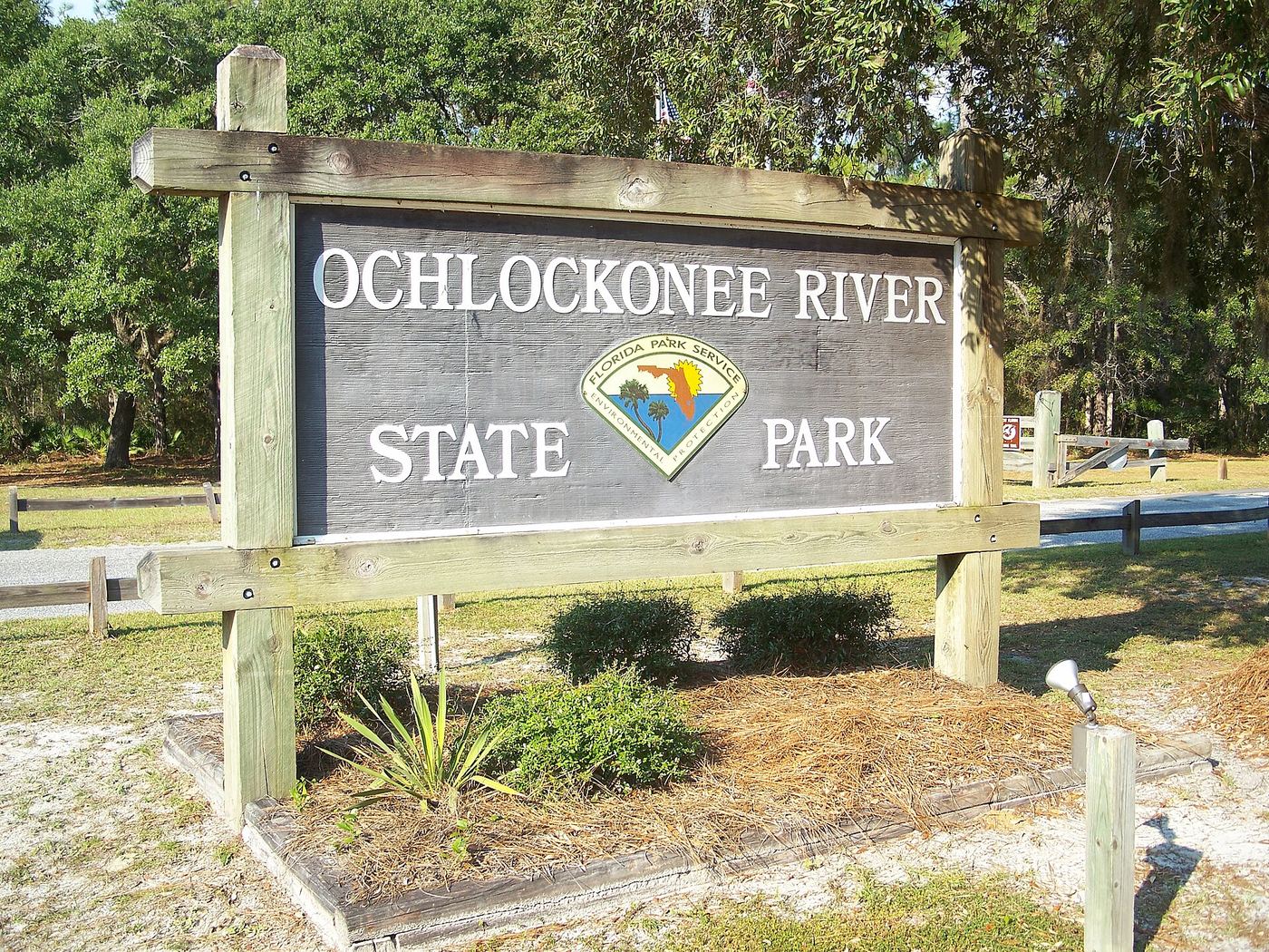
Ochlockonee River State Park
- Location
- Wakulla County, Florida
- Nearest town
- 13.9 miles southwest of Crawfordville
- Type
- State Park
About Ochlockonee River State Park
Pine flatwoods along the Ochlockonee River give way to water just before it empties into the Gulf of Mexico, with the Apalachicola National Forest and the St. Marks National Wildlife Refuge bordering the land on either side. This stretch of the Panhandle serves as habitat for the endangered red-cockaded woodpecker. Access comes off U.S. 319 south of Sopchoppy, placing the park at the meeting point of river, forest, and refuge lands.
Hours, fees, camping, reservations and closures are set by the park and change often. Check the official park site before you go.
Getting there
Ochlockonee River State Park is in Wakulla County, Florida, 13.9 miles southwest of Crawfordville. The Directions button takes you to the park's mapped location; the entrance may be elsewhere, so check the official site for the address to use.
State parks near Ochlockonee River State Park
Within 60 miles, closest first, straight-line. All 147 in Florida →
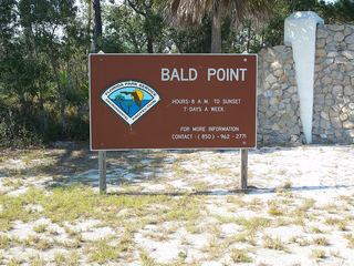 Bald Point State ParkState Park · Franklin County, FL9.3 miE
 San Marcos de Apalache Historic State ParkState Historic Site · Wakulla County, FL20 miNE
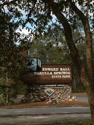 Edward Ball Wakulla Springs State ParkState Park · Wakulla County, FL20 miNE
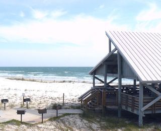 St. George Island State ParkState Park · Franklin County, FL24 miSW
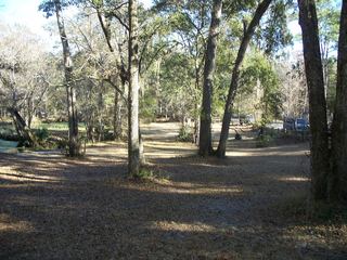 Natural Bridge Battlefield Historic State ParkState Historic Site · Leon County, FL28 miNE
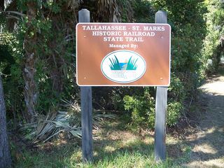 Tallahassee-St. Marks Historic Railroad Trail State ParkState Park · Leon County, FL30 miNE
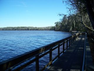 Lake Talquin State ParkState Park · Gadsden County, FL30 miN
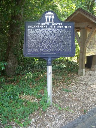 DeSoto Site Historic State ParkState Historic Site · Leon County, FL33 miNE
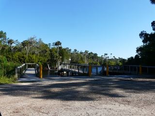 Econfina River State ParkState Park · Taylor County, FL35 miE
Towns near Ochlockonee River State Park
Facts from Wikidata, checked September 25, 2026. Distances are straight-line.