State Park · Indiana
Potato Creek State Park
- Location
- St. Joseph County, Indiana
- Nearest town
- 4.3 miles east of North Liberty
- Type
- State Park
About Potato Creek State Park
Worster Lake covers 327 acres at the center of this park, bordered by old fields, mature woodlands, restored prairies, and restored wetlands that together offer distinct spots for observing plants and wildlife. The northeast corner is set aside as the Swamp Rose Nature Preserve, and roughly one square mile of the park's total area is either wetland or part of the lake itself. Fishing, hiking, camping and mountain biking are all available here, and the park stays open throughout the year, drawing about 570,000 visitors annually.
Hours, fees, camping, reservations and closures are set by the park and change often. Check the official park site before you go.
Getting there
Potato Creek State Park is in St. Joseph County, Indiana, 4.3 miles east of North Liberty. The Directions button takes you to the park's mapped location; the entrance may be elsewhere, so check the official site for the address to use.
State parks near Potato Creek State Park
Within 60 miles, closest first, straight-line. All 26 in Indiana →
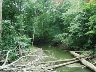 Warren Woods State ParkState Park · Berrien County, MI24 miNW
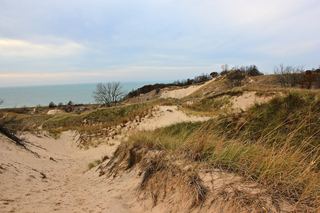 Warren Dunes State ParkState Park · Berrien County, MI28 miNW
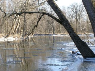 Tippecanoe River State ParkState Park · Pulaski County, IN32 miS
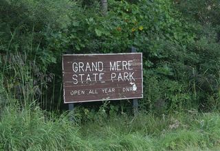 Grand Mere State ParkState Park · Berrien County, MI32 miN
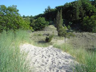 Indiana Dunes State ParkState Park · Porter County, IN37 miW
- Van Buren Trail State ParkState Park · Van Buren County, MI51 miN
- Chain O'Lakes State ParkState Park · Noble County, IN52 miE
 Van Buren State ParkState Park · Van Buren County, MI55 miN
Towns near Potato Creek State Park
State parks near South Bend, State parks near Plymouth, State parks near Goshen, State parks near Michigan City, State parks near Warsaw, State parks near Portage
Facts from Wikidata, checked September 25, 2026. Distances are straight-line.