State Park · Maryland
Assateague State Park
- Location
- Worcester County, Maryland
- Nearest town
- 7.3 miles south of West Ocean City
- Type
- State Park
About Assateague State Park
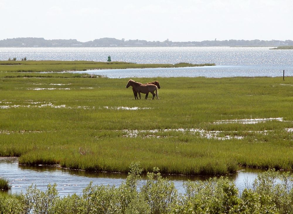
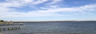
1965 marked the founding of this stretch of land occupying the north end of Assateague Island, a barrier island with the Atlantic Ocean on one side and Sinepuxent Bay on the other. Access comes by crossing the Verrazano Bridge, which carries Maryland Route 611 over the bay, and the land sits sandwiched between the two sections of Assateague Island National Seashore to its north and south. Wildlife viewing, beach activities, and camping are available, with the Maryland Park Service managing the grounds alongside volunteers from the Friends of Assateague State Park.
Hours, fees, camping, reservations and closures are set by the park and change often. Check the official park site before you go.
Getting there
Assateague State Park is in Worcester County, Maryland, 7.3 miles south of West Ocean City. The Directions button takes you to the park's mapped location; the entrance may be elsewhere, so check the official site for the address to use.
State parks near Assateague State Park
Within 60 miles, closest first, straight-line. All 46 in Maryland →
- Pocomoke River State ParkState Park · Worcester County, MD17 miSW
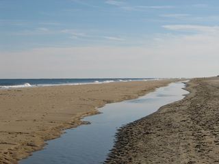 Fenwick Island State ParkState Park · Sussex County, DE18 miN
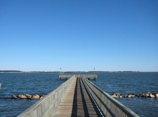 Holts Landing State ParkState Park · Sussex County, DE25 miN
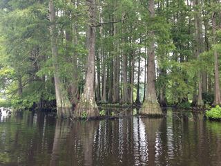 Trap Pond State ParkState Park · Sussex County, DE27 miNW
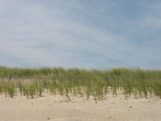 Delaware Seashore State ParkState Park · Sussex County, DE29 miN
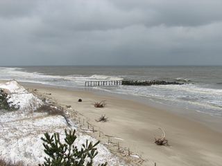 Cape Henlopen State ParkState Park · Sussex County, DE37 miN
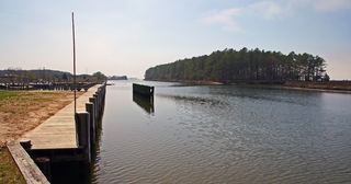 Janes Island State ParkState Park · Somerset County, MD41 miW
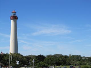 Cape May Point State ParkState Park · Cape May County, NJ50 miN
 Bill Burton Fishing Pier State ParkState Park · Talbot County, MD55 miNW
Towns near Assateague State Park
State parks near Ocean Pines, State parks near Salisbury, State parks near Milford
Facts from Wikidata, checked September 25, 2026. Distances are straight-line.