State Park · Maryland
Pocomoke River State Park
- Location
- Worcester County, Maryland
- Nearest town
- 4.1 miles southwest of Snow Hill
- Type
- State Park
About Pocomoke River State Park
Land along both banks of the Pocomoke River was set aside for public use in 1939, becoming part of a preserved corridor within Pocomoke State Forest. The protected area is split into two distinct sections, Shad Landing on the river's south bank and Milburn Landing on the north bank, situated between Snow Hill and Pocomoke City. This division across the waterway shapes how the park's land is organized and accessed.
Hours, fees, camping, reservations and closures are set by the park and change often. Check the official park site before you go.
Getting there
Pocomoke River State Park is in Worcester County, Maryland, 4.1 miles southwest of Snow Hill. The Directions button takes you to the park's mapped location; the entrance may be elsewhere, so check the official site for the address to use.
State parks near Pocomoke River State Park
Within 60 miles, closest first, straight-line. All 46 in Maryland →
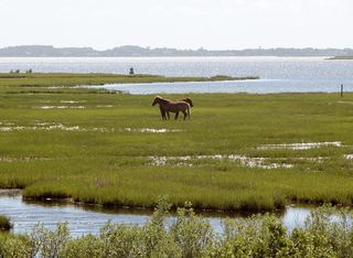 Assateague State ParkState Park · Worcester County, MD17 miNE
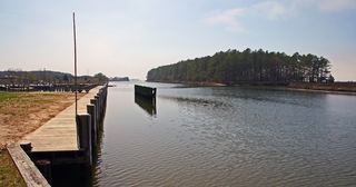 Janes Island State ParkState Park · Somerset County, MD24 miW
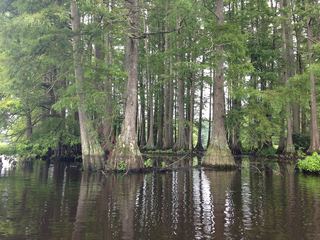 Trap Pond State ParkState Park · Sussex County, DE27 miN
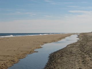 Fenwick Island State ParkState Park · Sussex County, DE32 miNE
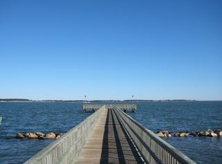 Holts Landing State ParkState Park · Sussex County, DE36 miNE
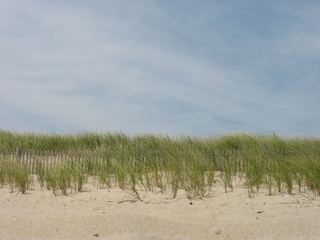 Delaware Seashore State ParkState Park · Sussex County, DE41 miNE
 Harriet Tubman Underground Railroad State ParkState Park · Dorchester County, MD44 miNW
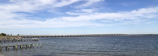 Bill Burton Fishing Pier State ParkState Park · Talbot County, MD46 miNW
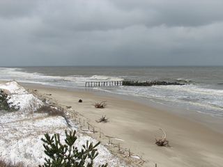 Cape Henlopen State ParkState Park · Sussex County, DE48 miNE
Towns near Pocomoke River State Park
Facts from Wikidata, checked September 25, 2026. Distances are straight-line.