State Park · Maryland
Matapeake State Park
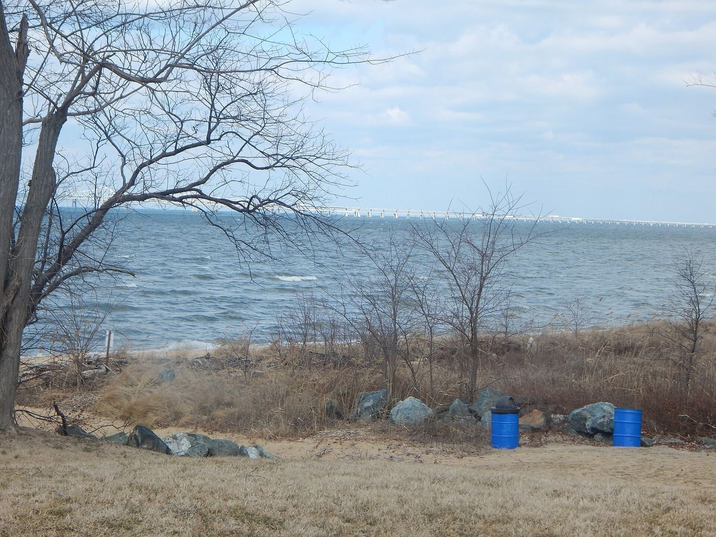
- Location
- Queen Anne's County, Maryland
- Nearest town
- 2.8 miles southwest of Stevensville
- Type
- State Park
About Matapeake State Park
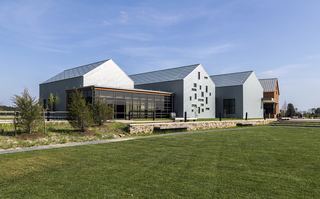
The Chesapeake Bay shoreline at Matapeake once served as a landing for the state-owned ferry system that carried travelers across the water before the Chesapeake Bay Bridge was built. That crossing point sits on Kent Island, within the community of Matapeake. Today the site is leased and managed by the county rather than run directly as a state facility, preserving a piece of the bay's pre-bridge transportation history.
Hours, fees, camping, reservations and closures are set by the park and change often. Check the official park site before you go.
Getting there
Matapeake State Park is in Queen Anne's County, Maryland, 2.8 miles southwest of Stevensville. The Directions button takes you to the park's mapped location; the entrance may be elsewhere, so check the official site for the address to use.
State parks near Matapeake State Park
Within 60 miles, closest first, straight-line. All 46 in Maryland →
 Sandy Point State ParkState Park · Anne Arundel County, MD4.8 miNW
 Wye Oak State ParkState Park · Talbot County, MD15 miE
 North Point State ParkState Park · Baltimore County, MD19 miN
- Tuckahoe State ParkState Park · Queen Anne's County, MD22 miE
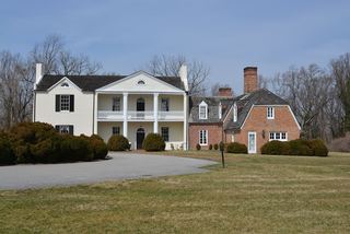 Rosaryville State ParkState Park · Prince George's County, MD28 miSW
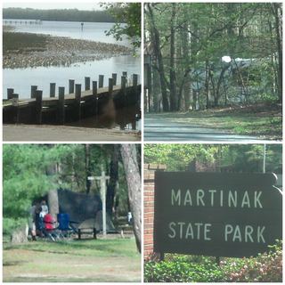 Martinak State ParkState Park · Caroline County, MD28 miE
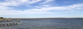 Bill Burton Fishing Pier State ParkState Park · Talbot County, MD30 miSE
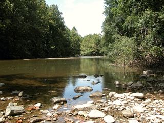 Patapsco Valley State ParkState Park · Baltimore County, MD33 miNW
 Harriet Tubman Underground Railroad State ParkState Park · Dorchester County, MD37 miS
Towns near Matapeake State Park
State parks near Easton, State parks near Bowie, State parks near Baltimore, State parks near Scaggsville, State parks near Washington, State parks near Waldorf
Facts from Wikidata, checked September 25, 2026. Distances are straight-line.