State Park · Maryland
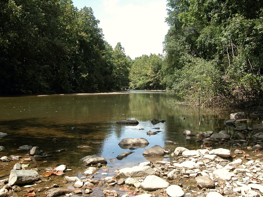
Patapsco Valley State Park
- Location
- Baltimore County, Maryland
- Nearest town
- 1.9 miles north of Ellicott City
- Type
- State Park
About Patapsco Valley State Park
Formation began in 1906, and by 2006 the site was formally recognized as Maryland's first state park. The land follows 32 miles of the Patapsco River, spread across multiple developed areas totaling more than 14,000 acres, which makes it the largest state park in Maryland. It is managed by the Maryland Department of Natural Resources.
Hours, fees, camping, reservations and closures are set by the park and change often. Check the official park site before you go.
Getting there
Patapsco Valley State Park is in Baltimore County, Maryland, 1.9 miles north of Ellicott City. The Directions button takes you to the park's mapped location; the entrance may be elsewhere, so check the official site for the address to use.
State parks near Patapsco Valley State Park
Within 60 miles, closest first, straight-line. All 46 in Maryland →
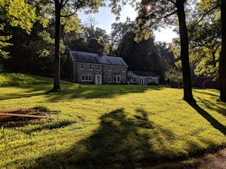 Patuxent River State ParkState Park · Montgomery County, MD15 miW
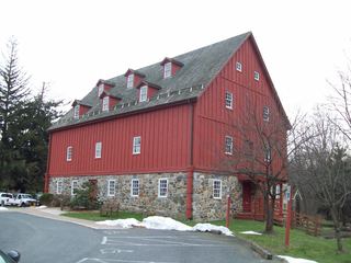 Gunpowder Falls State ParkState Park · Baltimore County, MD17 miNE
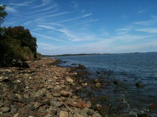 North Point State ParkState Park · Baltimore County, MD20 miE
 Matthew Henson State ParkState Park · Montgomery County, MD21 miSW
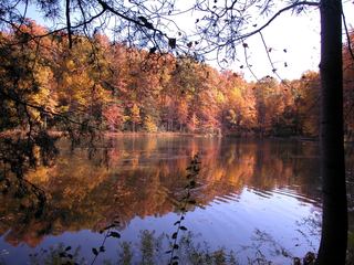 Seneca Creek State ParkState Park · Montgomery County, MD27 miW
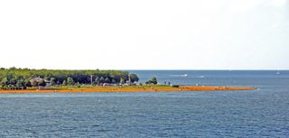 Sandy Point State ParkState Park · Anne Arundel County, MD28 miSE
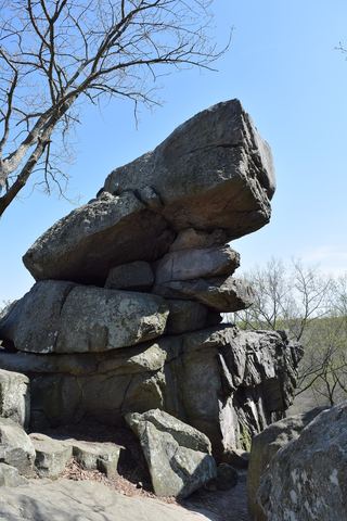 Rocks State ParkState Park · Harford County, MD31 miNE
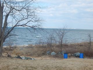 Matapeake State ParkState Park · Queen Anne's County, MD33 miSE
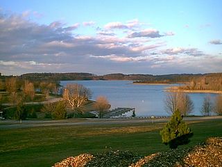 Codorus State ParkState Park · York County, PA34 miN
Towns near Patapsco Valley State Park
State parks near Baltimore, State parks near Eldersburg, State parks near Scaggsville, State parks near Bowie, State parks near Germantown, State parks near South Bel Air
Facts from Wikidata, checked September 25, 2026. Distances are straight-line.