State Park · Minnesota
Minneopa State Park
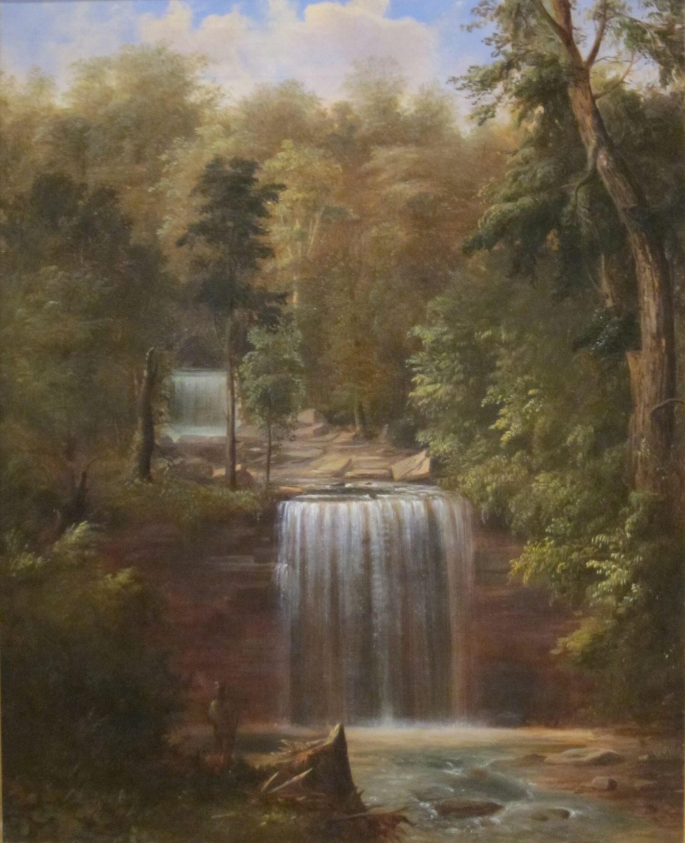
- Location
- Blue Earth County, Minnesota
- Nearest town
- 3.5 miles west of North Mankato
- Type
- State Park
About Minneopa State Park
A double-drop waterfall on Minneopa Creek was the reason for setting this land aside, with later additions bringing in the creek's lower stretch and a stretch of prairie. The grounds hold two listings on the National Register of Historic Places, an 1862 windmill called Seppman Mill and a set of seven Rustic Style structures raised by the WPA in the late 1930s. Since 2015 a 330-acre fenced enclosure has held a reintroduced bison herd, and visitors can drive through it in their own vehicles.
Hours, fees, camping, reservations and closures are set by the park and change often. Check the official park site before you go.
Getting there
Minneopa State Park is in Blue Earth County, Minnesota, 3.5 miles west of North Mankato. The Directions button takes you to the park's mapped location; the entrance may be elsewhere, so check the official site for the address to use.
State parks near Minneopa State Park
Within 60 miles, closest first, straight-line. All 73 in Minnesota →
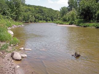 Flandrau State ParkState Park · Brown County, MN20 miNW
 Sakatah Lake State ParkState Park · Le Sueur County, MN28 miE
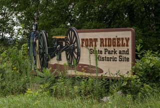 Fort Ridgely State ParkState Park · Nicollet County, MN37 miNW
 Minnesota Valley State Recreation AreaState Recreation Area · Scott County, MN40 miNE
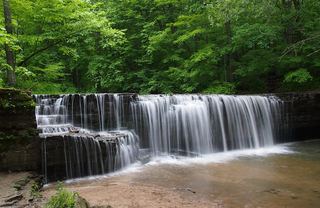 Nerstrand Big Woods State ParkState Park · Rice County, MN51 miE
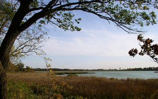 Rice Lake State ParkState Park · Steele County, MN52 miE
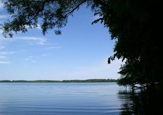 Myre-Big Island State ParkState Park · Freeborn County, MN54 miSE
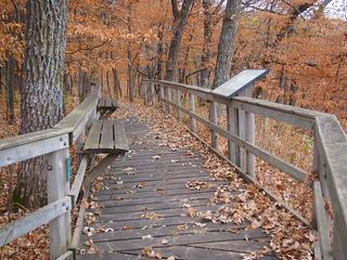 Kilen Woods State ParkState Park · Jackson County, MN56 miSW
Towns near Minneopa State Park
State parks near Mankato, State parks near New Ulm, State parks near Fairmont, State parks near Owatonna
Facts from Wikidata, checked September 25, 2026. Distances are straight-line.