State Park · Missouri
Jones-Confluence Point State Park
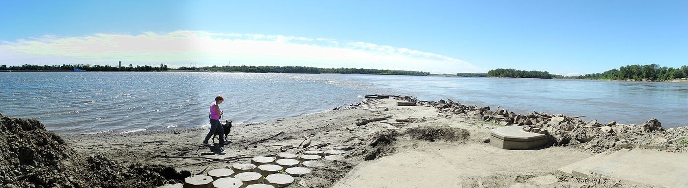
- Location
- St. Charles County, Missouri
- Nearest town
- 5.6 miles east of Spanish Lake
- Type
- State Park
About Jones-Confluence Point State Park
The point of land marks where the Missouri River meets the Mississippi, giving visitors a direct view of the two rivers joining. The 1,121 acres of shoreline and bottomland here are being managed toward restoring a natural floodplain meant to resemble what Lewis and Clark would have encountered along the lower Missouri. The park lies within the Mississippi Greenway and faces the Columbia Bottom Conservation Area across the river.
Hours, fees, camping, reservations and closures are set by the park and change often. Check the official park site before you go.
Getting there
Jones-Confluence Point State Park is in St. Charles County, Missouri, 5.6 miles east of Spanish Lake. The Directions button takes you to the park's mapped location; the entrance may be elsewhere, so check the official site for the address to use.
State parks near Jones-Confluence Point State Park
Within 60 miles, closest first, straight-line. All 73 in Missouri →
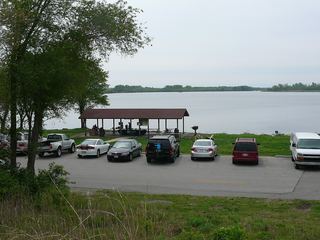 Horseshoe Lake State ParkState Park · Madison County, IL9.2 miS
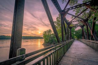 Katy Trail State ParkState Park · St. Charles County, MO13 miNW
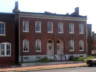 Scott Joplin House State Historic SiteState Historic Site · St. Louis city, MO13 miS
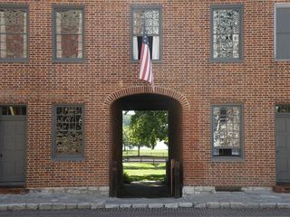 First Missouri State Capitol State Historic SiteState Historic Site · St. Charles County, MO20 miW
- Pere Marquette State ParkState Park · Jersey County, IL25 miNW
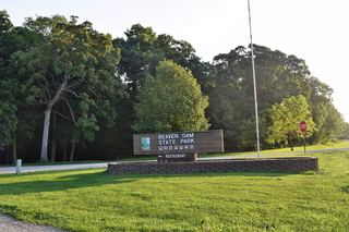 Beaver Dam State ParkState Park · Macoupin County, IL28 miN
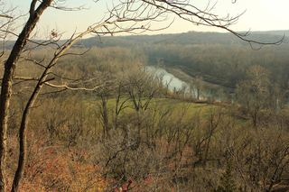 Castlewood State ParkState Park · St. Louis County, MO29 miSW
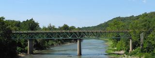 Route 66 State ParkState Park · St. Louis County, MO33 miSW
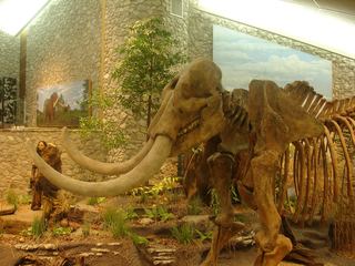 Mastodon State Historic SiteState Historic Site · Jefferson County, MO34 miSW
Towns near Jones-Confluence Point State Park
State parks near Upper Alton, State parks near St. Louis, State parks near Bridgeton, State parks near O'Fallon, State parks near Arnold, State parks near O'Fallon
Facts from Wikidata, checked September 25, 2026. Distances are straight-line.