State Park · Illinois
Horseshoe Lake State Park
- Location
- Madison County, Illinois
- Nearest town
- 2.5 miles north of Fairmont City
- Type
- State Park
About Horseshoe Lake State Park
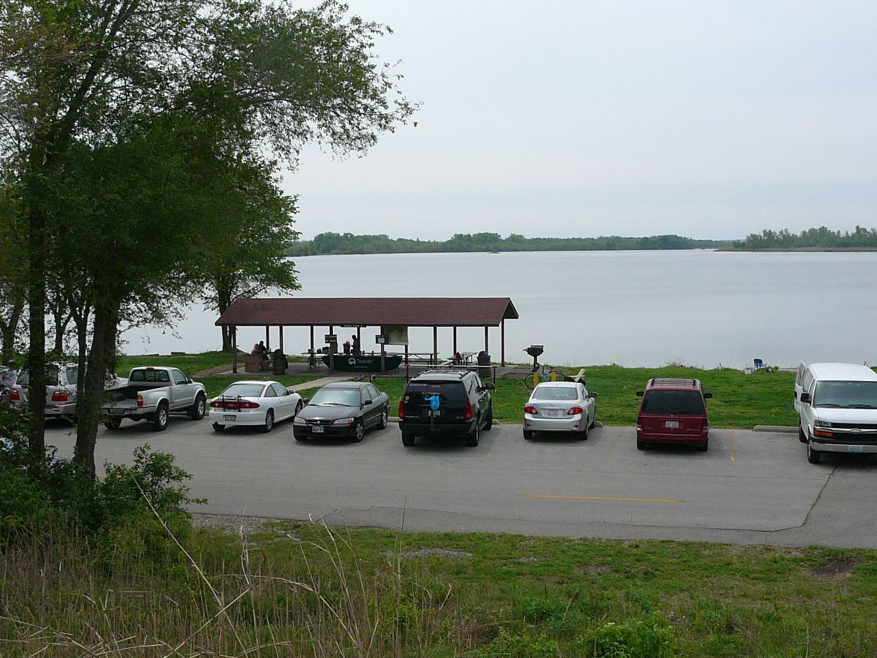
Nearly 2,960 acres surround a horseshoe-shaped body of water that gives the park its name, with the lake itself covering about 2,400 of those acres, making it the second largest natural lake in Illinois. Bicycle routes connect through the park via the Schoolhouse Trail, part of a network exceeding 85 miles, extending as far as downtown St. Louis by crossing the Mississippi River on the Chain of Rocks Bridge.
Hours, fees, camping, reservations and closures are set by the park and change often. Check the official park site before you go.
Getting there
Horseshoe Lake State Park is in Madison County, Illinois, 2.5 miles north of Fairmont City. The Directions button takes you to the park's mapped location; the entrance may be elsewhere, so check the official site for the address to use.
State parks near Horseshoe Lake State Park
Within 60 miles, closest first, straight-line. All 64 in Illinois →
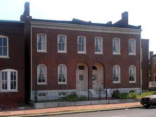 Scott Joplin House State Historic SiteState Historic Site · St. Louis city, MO7.3 miSW
 Jones-Confluence Point State ParkState Park · St. Charles County, MO9.2 miN
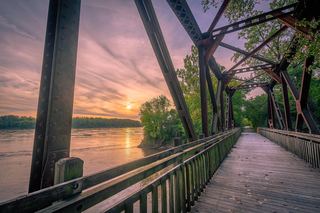 Katy Trail State ParkState Park · St. Charles County, MO20 miNW
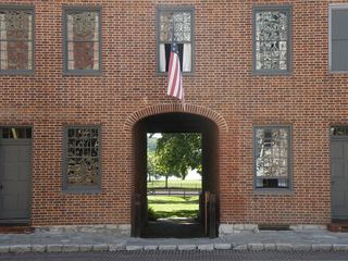 First Missouri State Capitol State Historic SiteState Historic Site · St. Charles County, MO22 miW
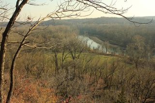 Castlewood State ParkState Park · St. Louis County, MO26 miW
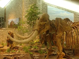 Mastodon State Historic SiteState Historic Site · Jefferson County, MO27 miSW
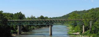 Route 66 State ParkState Park · St. Louis County, MO30 miSW
- Pere Marquette State ParkState Park · Jersey County, IL32 miNW
 Babler State ParkState Park · St. Louis County, MO33 miW
Towns near Horseshoe Lake State Park
State parks near St. Louis, State parks near O'Fallon, State parks near Upper Alton, State parks near Bridgeton, State parks near Arnold, State parks near Wildwood
Facts from Wikidata, checked September 25, 2026. Distances are straight-line.