State Park · Missouri
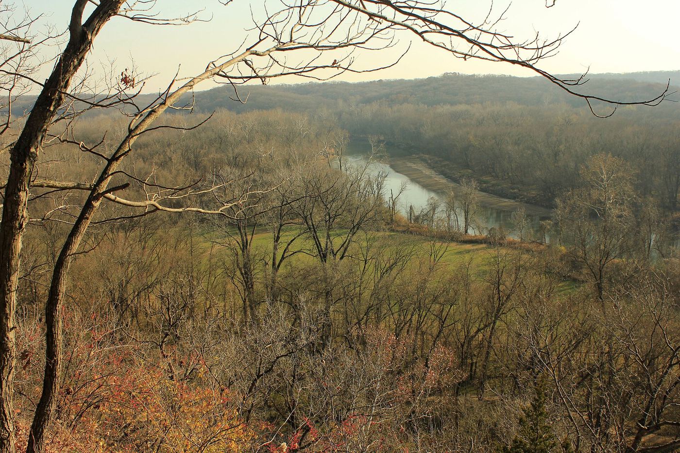
Castlewood State Park
- Location
- St. Louis County, Missouri
- Nearest town
- 2.6 miles west of Valley Park
- Type
- State Park
About Castlewood State Park
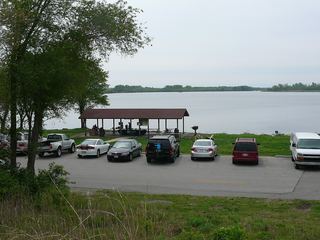
The Meramec River runs through 1,818 acres of public land split into two sections by the water. The north side sees most of the foot traffic, while the south side connects to Lone Elk County Park and holds the World Bird Sanctuary within its boundary. The layout means access points and what a visitor finds depend on which bank they reach.
Hours, fees, camping, reservations and closures are set by the park and change often. Check the official park site before you go.
Getting there
Castlewood State Park is in St. Louis County, Missouri, 2.6 miles west of Valley Park. The Directions button takes you to the park's mapped location; the entrance may be elsewhere, so check the official site for the address to use.
State parks near Castlewood State Park
Within 60 miles, closest first, straight-line. All 73 in Missouri →
 Route 66 State ParkState Park · St. Louis County, MO4.1 miSW
 Babler State ParkState Park · St. Louis County, MO9.6 miNW
 Mastodon State Historic SiteState Historic Site · Jefferson County, MO14 miSE
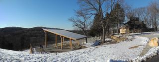 Don Robinson State ParkState Park · Jefferson County, MO14 miSW
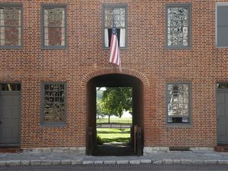 First Missouri State Capitol State Historic SiteState Historic Site · St. Charles County, MO16 miN
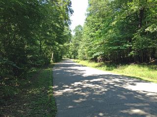 Robertsville State ParkState Park · Franklin County, MO17 miSW
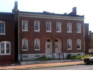 Scott Joplin House State Historic SiteState Historic Site · St. Louis city, MO19 miE
 Horseshoe Lake State ParkState Park · Madison County, IL26 miE
 Katy Trail State ParkState Park · St. Charles County, MO27 miNE
Towns near Castlewood State Park
State parks near Wildwood, State parks near Arnold, State parks near Bridgeton, State parks near St. Louis, State parks near O'Fallon, State parks near Washington
Facts from Wikidata, checked September 25, 2026. Distances are straight-line.