State Historic Site · Missouri
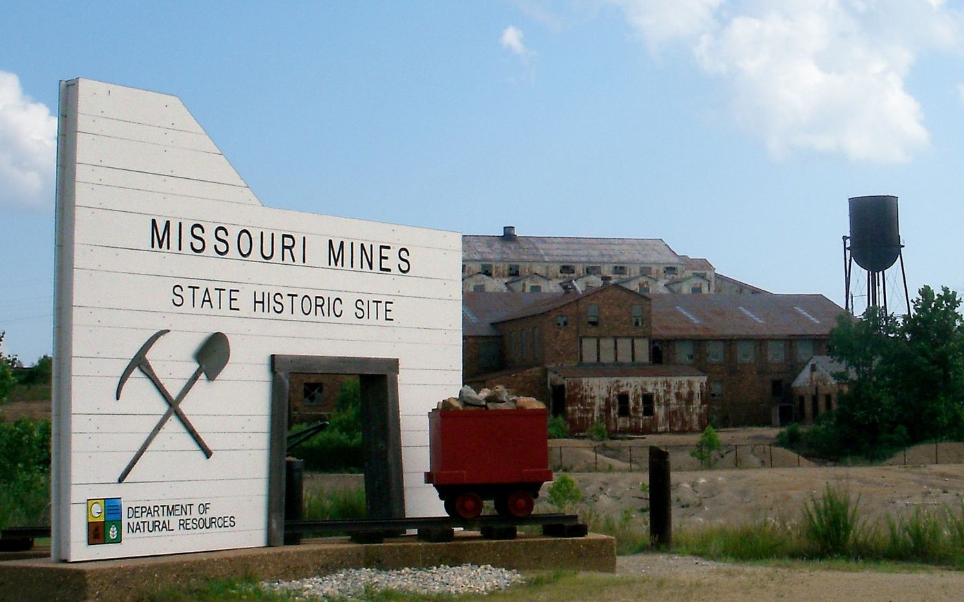
Missouri Mines State Historic Site
- Location
- St. Francois County, Missouri
- Nearest town
- 0.9 miles southeast of Flat River
- Type
- State Historic Site
About Missouri Mines State Historic Site
Federal Mill No. 3 once processed lead and zinc ore drawn from the surrounding ground during decades of mining in the Old Lead Belt. The site preserves that industrial complex, and its former power building now houses a museum covering the region's geological and mining history. Visitors find interpretive exhibits centered on this specific mill operation and the ore-processing work carried out there.
Hours, fees, camping, reservations and closures are set by the park and change often. Check the official park site before you go.
Getting there
Missouri Mines State Historic Site is in St. Francois County, Missouri, 0.9 miles southeast of Flat River. The Directions button takes you to the park's mapped location; the entrance may be elsewhere, so check the official site for the address to use.
State parks near Missouri Mines State Historic Site
Within 60 miles, closest first, straight-line. All 73 in Missouri →
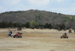 St. Joe State ParkState Park · St. Francois County, MO2.0 miS
- St. Francois State ParkState Park · St. Francois County, MO9.6 miN
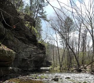 Hawn State ParkState Park · Ste. Genevieve County, MO15 miE
 Elephant Rocks State ParkState Park · Iron County, MO16 miSW
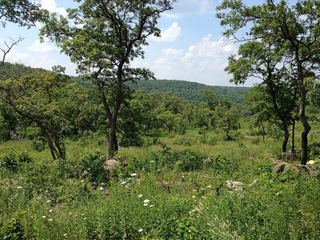 Washington State ParkState Park · Washington County, MO20 miNW
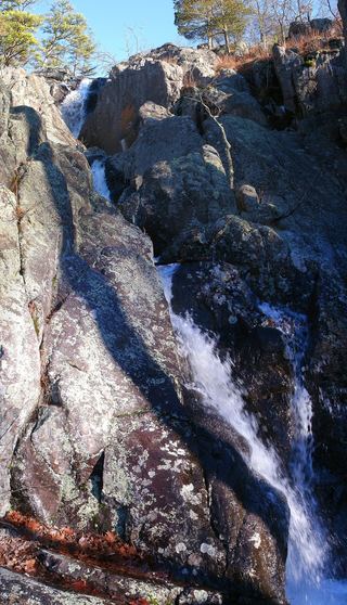 Taum Sauk Mountain State ParkState Park · Iron County, MO22 miSW
 Jay Nixon State ParkState Park · Reynolds County, MO23 miSW
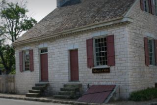 Felix Vallé House State Historic SiteState Historic Site · Ste. Genevieve County, MO27 miE
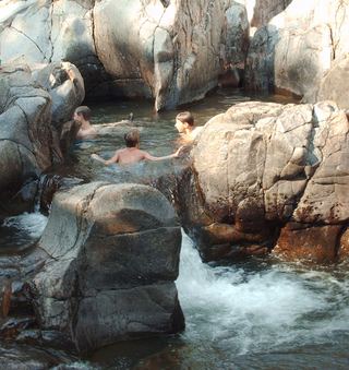 Johnson's Shut-Ins State ParkState Park · Reynolds County, MO27 miSW
Towns near Missouri Mines State Historic Site
Facts from Wikidata, checked September 25, 2026. Distances are straight-line.