State Park · Missouri
Washington State Park
- Location
- Washington County, Missouri
- Nearest town
- 8 miles southwest of De Soto
- Type
- State Park
About Washington State Park
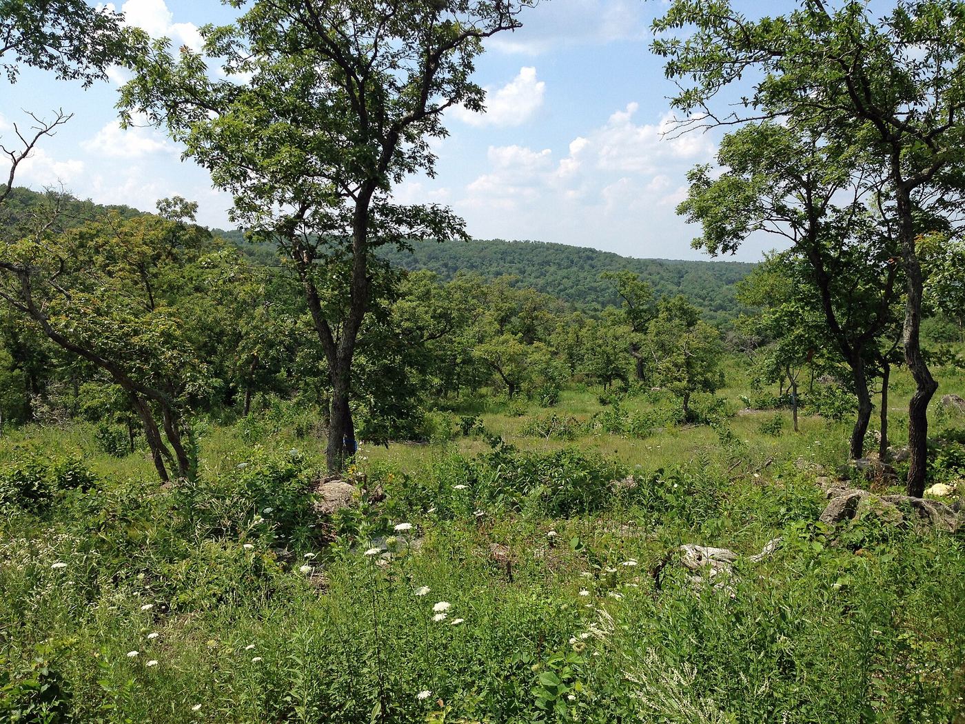
2,157 acres of land on the eastern edge of the Ozarks make up this park, which sits along Highway 21. The area protects Native American rock carvings and preserves stonework built during the 1930s. Its terrain marks a transition zone at the edge of the Ozark region rather than deep within it.
Hours, fees, camping, reservations and closures are set by the park and change often. Check the official park site before you go.
Getting there
Washington State Park is in Washington County, Missouri, 8 miles southwest of De Soto. The Directions button takes you to the park's mapped location; the entrance may be elsewhere, so check the official site for the address to use.
State parks near Washington State Park
Within 60 miles, closest first, straight-line. All 73 in Missouri →
- St. Francois State ParkState Park · St. Francois County, MO12 miSE
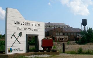 Missouri Mines State Historic SiteState Historic Site · St. Francois County, MO20 miSE
 Don Robinson State ParkState Park · Jefferson County, MO21 miN
 St. Joe State ParkState Park · St. Francois County, MO21 miSE
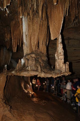 Meramec State ParkState Park · Franklin County, MO24 miW
 Robertsville State ParkState Park · Franklin County, MO24 miN
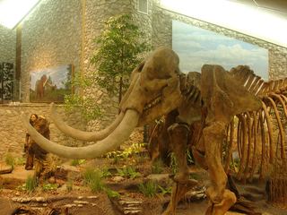 Mastodon State Historic SiteState Historic Site · Jefferson County, MO26 miNE
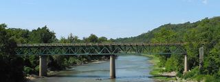 Route 66 State ParkState Park · St. Louis County, MO30 miN
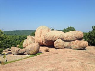 Elephant Rocks State ParkState Park · Iron County, MO30 miS
Towns near Washington State Park
State parks near Farmington, State parks near Arnold, State parks near Wildwood, State parks near Washington, State parks near St. Louis, State parks near Bridgeton
Facts from Wikidata, checked September 25, 2026. Distances are straight-line.