State Park · Missouri
St. Francois State Park
- Location
- St. Francois County, Missouri
- Nearest town
- 4.2 miles northeast of Bonne Terre
- Type
- State Park
About St. Francois State Park
The Big River runs through 2,735 acres of forested land here, offering fishing access along its banks and a network of trails open to both hikers and horseback riders. A campground gives visitors a base for exploring the grounds. Within the park's boundaries lies the 49-acre Coonville Creek Natural Area, a narrow valley formed around the creek of the same name, set aside for its natural features.
Hours, fees, camping, reservations and closures are set by the park and change often. Check the official park site before you go.
Getting there
St. Francois State Park is in St. Francois County, Missouri, 4.2 miles northeast of Bonne Terre. The Directions button takes you to the park's mapped location; the entrance may be elsewhere, so check the official site for the address to use.
State parks near St. Francois State Park
Within 60 miles, closest first, straight-line. All 73 in Missouri →
 Missouri Mines State Historic SiteState Historic Site · St. Francois County, MO9.6 miS
 St. Joe State ParkState Park · St. Francois County, MO12 miS
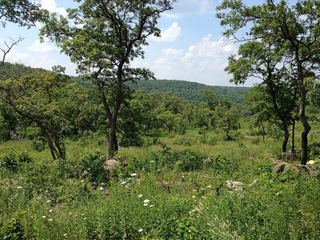 Washington State ParkState Park · Washington County, MO12 miNW
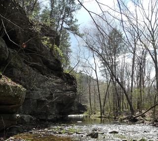 Hawn State ParkState Park · Ste. Genevieve County, MO19 miSE
 Elephant Rocks State ParkState Park · Iron County, MO24 miSW
 Felix Vallé House State Historic SiteState Historic Site · Ste. Genevieve County, MO26 miE
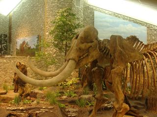 Mastodon State Historic SiteState Historic Site · Jefferson County, MO29 miN
 Don Robinson State ParkState Park · Jefferson County, MO30 miN
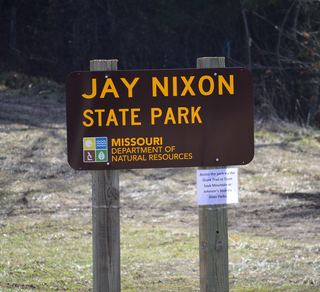 Jay Nixon State ParkState Park · Reynolds County, MO30 miSW
Towns near St. Francois State Park
State parks near Farmington, State parks near Arnold, State parks near Wildwood, State parks near St. Louis, State parks near Washington
Facts from Wikidata, checked September 25, 2026. Distances are straight-line.