State Park · Missouri
Johnson's Shut-Ins State Park
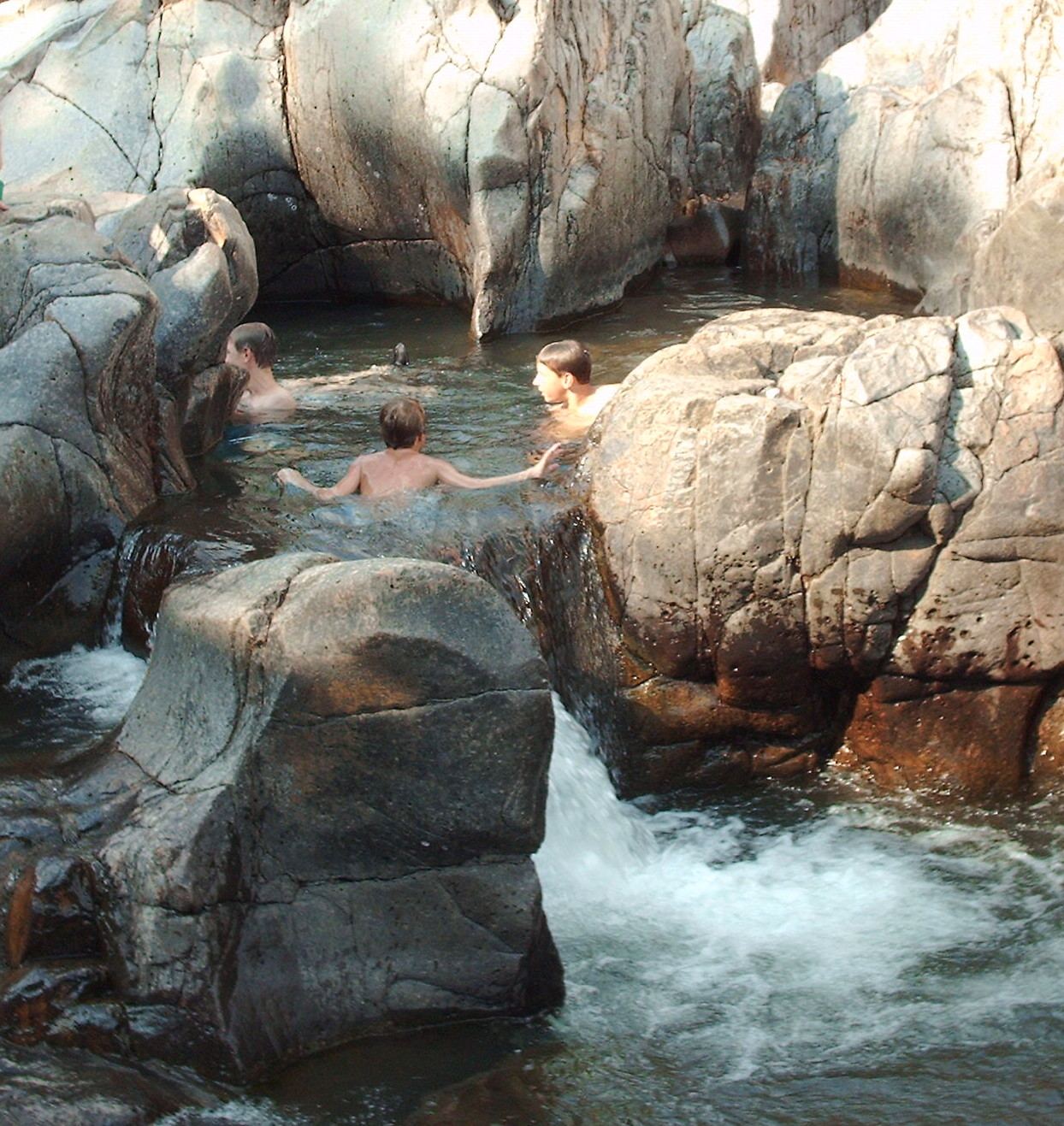
- Location
- Reynolds County, Missouri
- Nearest town
- 9.8 miles northeast of Centerville
- Type
- State Park
About Johnson's Shut-Ins State Park
The East Fork Black River carves a series of narrow channels and potholes through volcanic rock here, forming the shut-ins the park is named for. The park spans 9,432 acres in the St. Francois Mountains of the Missouri Ozarks and is jointly managed with the adjoining Taum Sauk Mountain State Park, together protecting more than sixteen thousand acres of that range.
Hours, fees, camping, reservations and closures are set by the park and change often. Check the official park site before you go.
Getting there
Johnson's Shut-Ins State Park is in Reynolds County, Missouri, 9.8 miles northeast of Centerville. The Directions button takes you to the park's mapped location; the entrance may be elsewhere, so check the official site for the address to use.
State parks near Johnson's Shut-Ins State Park
Within 60 miles, closest first, straight-line. All 73 in Missouri →
 Jay Nixon State ParkState Park · Reynolds County, MO4.9 miNE
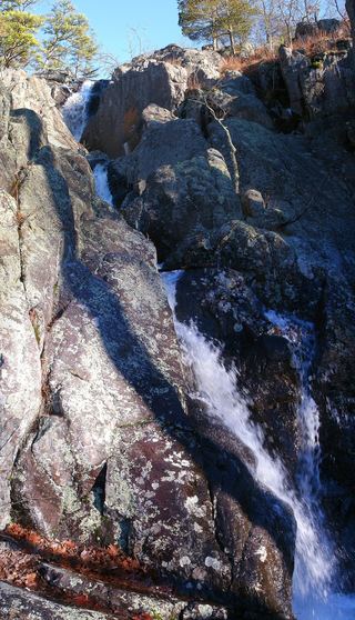 Taum Sauk Mountain State ParkState Park · Iron County, MO6.6 miE
 Elephant Rocks State ParkState Park · Iron County, MO11 miNE
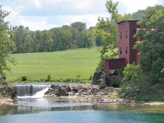 Dillard Mill State Historic SiteState Historic Site · Crawford County, MO23 miNW
 St. Joe State ParkState Park · St. Francois County, MO26 miNE
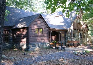 Sam A. Baker State ParkState Park · Wayne County, MO26 miSE
 Missouri Mines State Historic SiteState Historic Site · St. Francois County, MO27 miNE
- Echo Bluff State ParkState Park · Shannon County, MO35 miSW
- St. Francois State ParkState Park · St. Francois County, MO35 miNE
Towns near Johnson's Shut-Ins State Park
Facts from Wikidata, checked September 25, 2026. Distances are straight-line.