State Park · Missouri
Sam A. Baker State Park
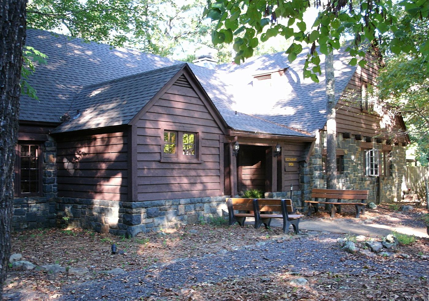
- Location
- Wayne County, Missouri
- Nearest town
- 9.7 miles northwest of Greenville
- Type
- State Park
About Sam A. Baker State Park
The Saint Francois Mountains form the setting for this 5,323-acre tract in the Missouri Ozarks, where visitors can fish, canoe, swim, camp, and travel trails on foot or horseback. Its visitor and nature center occupies a building put up as a stable in 1934, and twenty-five buildings along with five other structures make up a historic district added to the National Register of Historic Places in 1985.
Hours, fees, camping, reservations and closures are set by the park and change often. Check the official park site before you go.
Getting there
Sam A. Baker State Park is in Wayne County, Missouri, 9.7 miles northwest of Greenville. The Directions button takes you to the park's mapped location; the entrance may be elsewhere, so check the official site for the address to use.
State parks near Sam A. Baker State Park
Within 60 miles, closest first, straight-line. All 73 in Missouri →
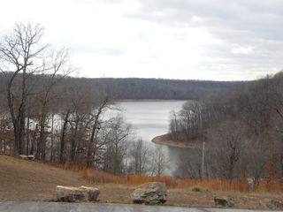 Lake Wappapello State ParkState Park · Wayne County, MO23 miSE
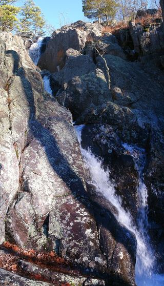 Taum Sauk Mountain State ParkState Park · Iron County, MO25 miNW
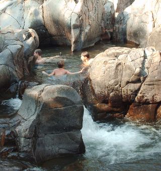 Johnson's Shut-Ins State ParkState Park · Reynolds County, MO26 miNW
 Jay Nixon State ParkState Park · Reynolds County, MO27 miNW
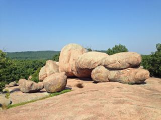 Elephant Rocks State ParkState Park · Iron County, MO29 miN
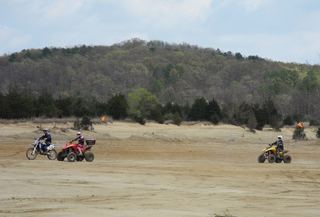 St. Joe State ParkState Park · St. Francois County, MO38 miN
 Missouri Mines State Historic SiteState Historic Site · St. Francois County, MO40 miN
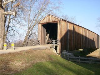 Bollinger Mill State Historic SiteState Historic Site · Cape Girardeau County, MO41 miE
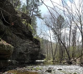 Hawn State ParkState Park · Ste. Genevieve County, MO42 miN
Towns near Sam A. Baker State Park
Facts from Wikidata, checked September 25, 2026. Distances are straight-line.