State Park · Missouri
Finger Lakes State Park
- Location
- Boone County, Missouri
- Nearest town
- 5.5 miles west of Hallsville
- Type
- State Park
About Finger Lakes State Park
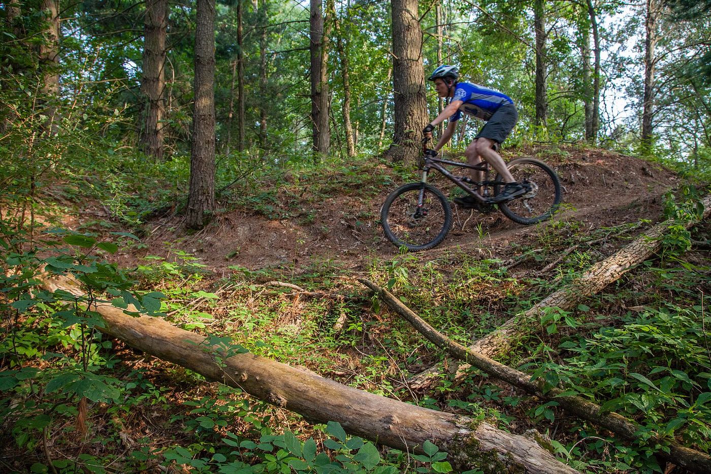
Reclaimed strip-mined land forms the base of this 1,138-acre recreation area, bordering the Rocky Fork Lakes Conservation Area. The ground was once mined for coal before being restored for public use. It is one of two state parks in Missouri set aside for off-road vehicle riding, a history it shares with St. Joe State Park, which also grew out of a mining site.
Hours, fees, camping, reservations and closures are set by the park and change often. Check the official park site before you go.
Getting there
Finger Lakes State Park is in Boone County, Missouri, 5.5 miles west of Hallsville. The Directions button takes you to the park's mapped location; the entrance may be elsewhere, so check the official site for the address to use.
State parks near Finger Lakes State Park
Within 60 miles, closest first, straight-line. All 73 in Missouri →
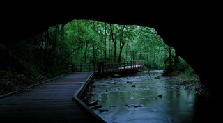 Rock Bridge Memorial State ParkState Park · Boone County, MO15 miS
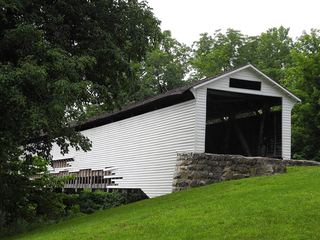 Union Covered Bridge State Historic SiteState Historic Site · Monroe County, MO26 miNE
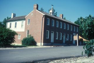 Arrow Rock State Historic SiteState Historic Site · Saline County, MO34 miW
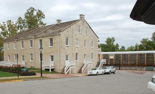 Jefferson Landing State Historic SiteState Historic Site · Cole County, MO36 miS
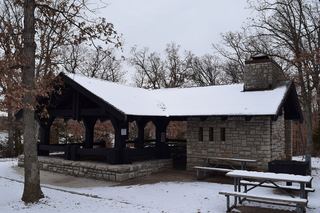 Mark Twain State ParkState Park · Monroe County, MO39 miNE
 Mark Twain Birthplace State Historic SiteState Historic Site · Monroe County, MO40 miNE
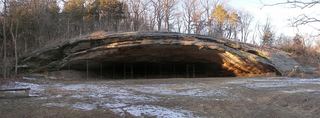 Graham Cave State ParkState Park · Montgomery County, MO42 miE
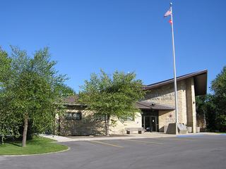 Long Branch State ParkState Park · Macon County, MO48 miN
 Van Meter State ParkState Park · Saline County, MO52 miW
Towns near Finger Lakes State Park
State parks near Columbia, State parks near Moberly, State parks near Mexico, State parks near Fulton, State parks near Jefferson City, State parks near Marshall
Facts from Wikidata, checked September 25, 2026. Distances are straight-line.