State Park · Nevada
Dayton State Park
- Location
- Lyon County, Nevada
- Nearest town
- 0.8 miles north of Dayton
- Type
- State Park
About Dayton State Park
152 acres of land preserve the remains of the Rock Point Stamp Mill, built in 1861 to process silver ore from the Comstock Lode. The mill site marks a piece of the region's mining history, giving visitors a direct link to the silver processing operations that once ran here. The park's acreage covers this historic milling ground in Dayton.
Hours, fees, camping, reservations and closures are set by the park and change often. Check the official park site before you go.
Getting there
Dayton State Park is in Lyon County, Nevada, 0.8 miles north of Dayton. The Directions button takes you to the park's mapped location; the entrance may be elsewhere, so check the official site for the address to use.
State parks near Dayton State Park
Within 60 miles, closest first, straight-line. All 25 in Nevada →
 Washoe Lake State ParkState Park · Washoe County, NV10 miW
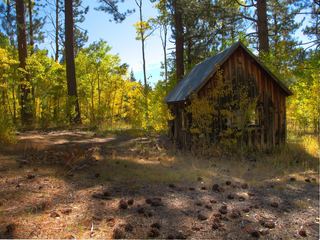 Lake Tahoe State ParkState Park · Washoe County, NV17 miW
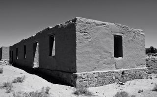 Fort Churchill State Historic ParkState Historic Site · Lyon County, NV17 miE
- Mormon Station State Historic ParkState Historic Site · Douglas County, NV22 miSW
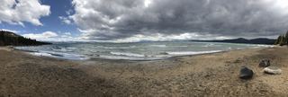 Kings Beach State Recreation AreaState Recreation Area · Placer County, CA24 miW
- Van Sickle Bi-State ParkState Park · Douglas County, NV27 miSW
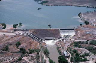 Lahontan State Recreation AreaState Recreation Area · Churchill County, NV28 miNE
- Tahoe State Recreation AreaState Recreation Area · Placer County, CA30 miW
- Burton Creek State ParkState Park · Placer County, CA30 miW
Towns near Dayton State Park
State parks near Carson City, State parks near Reno, State parks near South Lake Tahoe, State parks near Fernley, State parks near Truckee
Facts from Wikidata, checked September 25, 2026. Distances are straight-line.