State Recreation Area · Nevada
Lahontan State Recreation Area
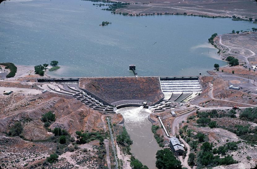
- Location
- Churchill County, Nevada
- Nearest town
- 6.1 miles east of Silver Springs
- Type
- State Recreation Area
About Lahontan State Recreation Area
The Lahontan Reservoir stretches 17 miles along the Carson River, with 69 miles of shoreline and up to 11,200 acres of water surrounding the surrounding parkland. Most of the terrain sits below 4,000 feet, covered in high desert sagebrush, while cottonwoods and willows line the shore itself. Access comes off U.S. Route 50 near Lahontan Dam or from U.S. Route 95 in Silver Springs, and a connecting corridor called Carson River Ranches links the area to Fort Churchill State Historic Park.
Hours, fees, camping, reservations and closures are set by the park and change often. Check the official park site before you go.
Getting there
Lahontan State Recreation Area is in Churchill County, Nevada, 6.1 miles east of Silver Springs. The Directions button takes you to the park's mapped location; the entrance may be elsewhere, so check the official site for the address to use.
State parks near Lahontan State Recreation Area
Within 60 miles, closest first, straight-line. All 25 in Nevada →
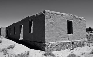 Fort Churchill State Historic ParkState Historic Site · Lyon County, NV12 miSW
- Dayton State ParkState Park · Lyon County, NV28 miSW
 Washoe Lake State ParkState Park · Washoe County, NV38 miW
- Walker River State Recreation AreaState Recreation Area · Lyon County, NV41 miS
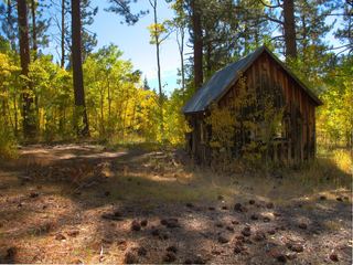 Lake Tahoe State ParkState Park · Washoe County, NV45 miW
- Mormon Station State Historic ParkState Historic Site · Douglas County, NV49 miSW
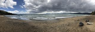 Kings Beach State Recreation AreaState Recreation Area · Placer County, CA51 miW
- Van Sickle Bi-State ParkState Park · Douglas County, NV55 miSW
- Burton Creek State ParkState Park · Placer County, CA57 miW
Towns near Lahontan State Recreation Area
State parks near Fernley, State parks near Reno, State parks near Carson City
Facts from Wikidata, checked September 25, 2026. Distances are straight-line.