State Recreation Area · Oregon
Deschutes River State Recreation Area
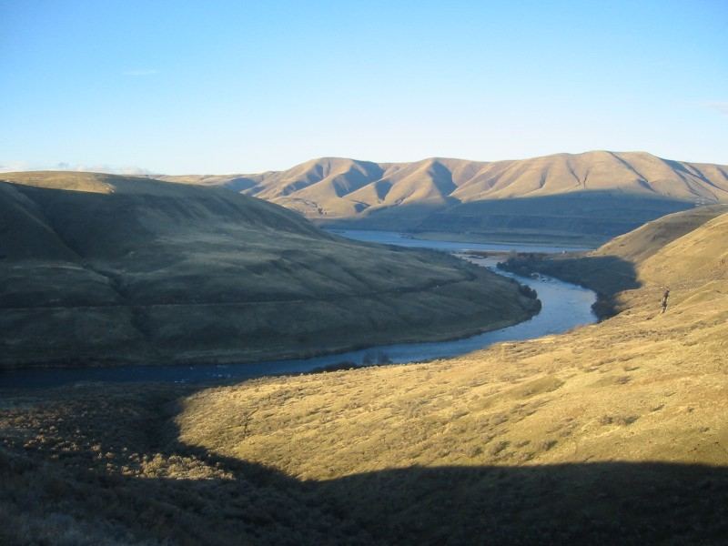
- Location
- Sherman County, Oregon
- Nearest town
- 13.3 miles east of The Dalles
- Type
- State Recreation Area
About Deschutes River State Recreation Area
Where the Deschutes River meets the Columbia, this 35.1-acre site sits right at the confluence of the two waterways. Visitors can fish both rivers, hike or bike the surrounding trails, or ride the equestrian trail through the area. The land supports camping alongside these activities, giving access to river frontage on two distinct waterways rather than just one.
Hours, fees, camping, reservations and closures are set by the park and change often. Check the official park site before you go.
Getting there
Deschutes River State Recreation Area is in Sherman County, Oregon, 13.3 miles east of The Dalles. The Directions button takes you to the park's mapped location; the entrance may be elsewhere, so check the official site for the address to use.
State parks near Deschutes River State Recreation Area
Within 60 miles, closest first, straight-line. All 137 in Oregon →
 Maryhill State ParkState Park · Klickitat County, WA5.3 miNE
 Columbia Hills Historical State ParkState Park · Wasco County, OR9.5 miW
 Goldendale Observatory State ParkState Park · Klickitat County, WA15 miN
- Doug's Beach State ParkState Park · Klickitat County, WA16 miW
- Klickitat State Park TrailState Park · Klickitat County, WA17 miNW
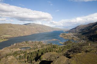 Mayer State ParkState Park · Wasco County, OR18 miW
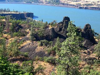 Memaloose State ParkState Park · Wasco County, OR21 miW
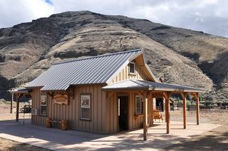 Cottonwood Canyon State ParkState Park · Sherman County, OR24 miSE
- Brooks Memorial State ParkState Park · Klickitat County, WA24 miNE
Towns near Deschutes River State Recreation Area
Facts from Wikidata, checked September 25, 2026. Distances are straight-line.