State Park · Pennsylvania
Archbald Pothole State Park
- Location
- Lackawanna County, Pennsylvania
- Nearest town
- 2 miles southwest of Jermyn
- Type
- State Park
About Archbald Pothole State Park
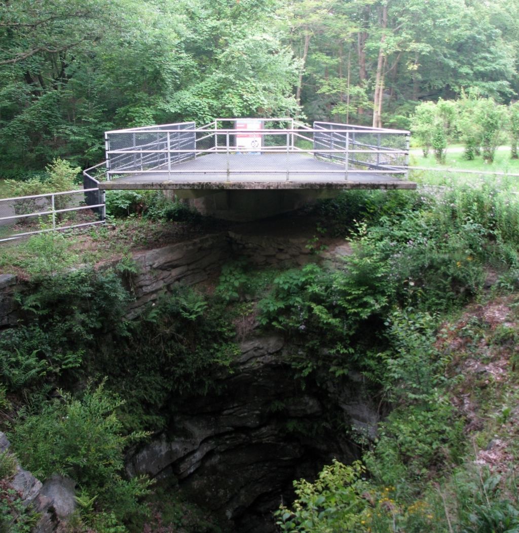
Thirty-eight feet deep and up to 42 feet across, a glacial pothole formed during the Wisconsin Glacial Period anchors this 150-acre park. Miners uncovered the hole in 1884, and it has attracted visitors ever since. The park sits along U.S. Route 6 Business in the borough of Archbald, giving direct access to the pothole itself.
Hours, fees, camping, reservations and closures are set by the park and change often. Check the official park site before you go.
Getting there
Archbald Pothole State Park is in Lackawanna County, Pennsylvania, 2 miles southwest of Jermyn. The Directions button takes you to the park's mapped location; the entrance may be elsewhere, so check the official site for the address to use.
State parks near Archbald Pothole State Park
Within 60 miles, closest first, straight-line. All 114 in Pennsylvania →
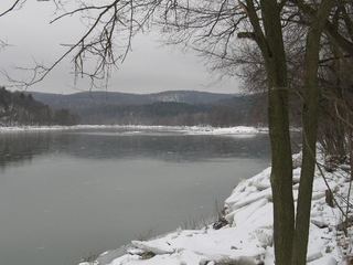 Lackawanna State ParkState Park · Lackawanna County, PA7.9 miNW
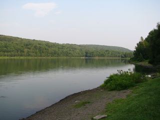 Prompton State ParkState Park · Wayne County, PA14 miNE
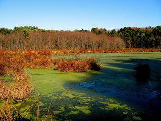 Frances Slocum State ParkState Park · Luzerne County, PA20 miSW
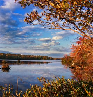 Tobyhanna State ParkState Park · Wayne County, PA22 miSE
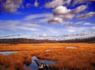 Gouldsboro State ParkState Park · Monroe County, PA22 miS
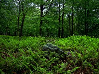 Promised Land State ParkState Park · Pike County, PA24 miSE
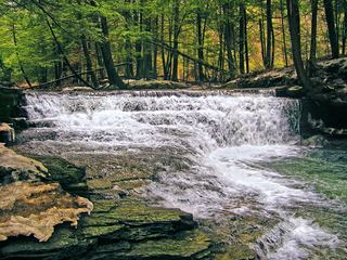 Salt Springs State ParkState Park · Susquehanna County, PA32 miNW
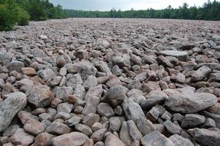 Hickory Run State ParkState Park · Carbon County, PA33 miS
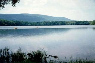 Big Pocono State ParkState Park · Monroe County, PA35 miS
Towns near Archbald Pothole State Park
State parks near Scranton, State parks near Wilkes-Barre, State parks near East Stroudsburg, State parks near Hazleton, State parks near Binghamton
Facts from Wikidata, checked September 25, 2026. Distances are straight-line.