State Park · Pennsylvania
Mt. Pisgah State Park
- Location
- Bradford County, Pennsylvania
- Nearest town
- 6.4 miles east of Troy
- Type
- State Park
About Mt. Pisgah State Park
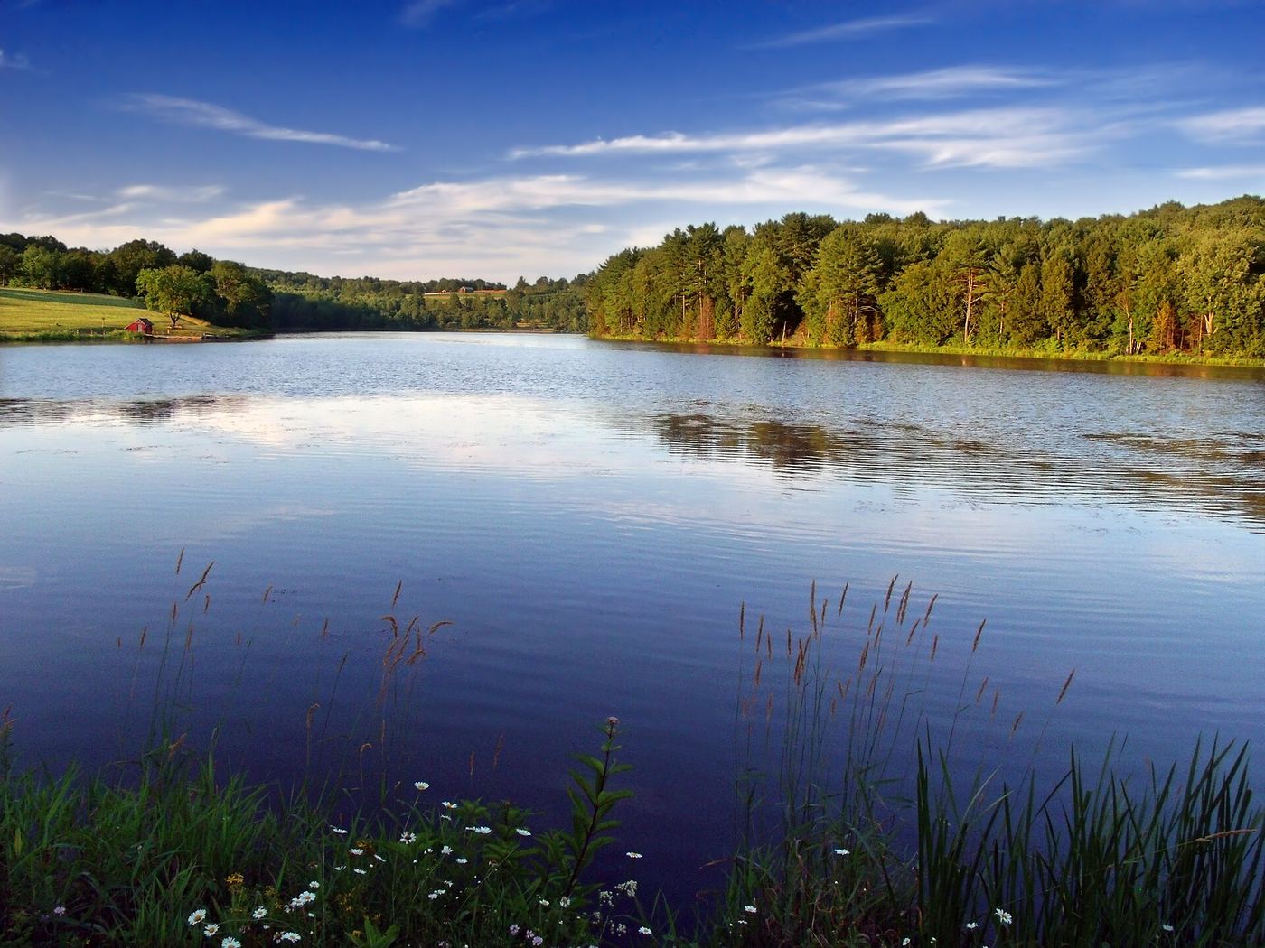
Stephen Foster Lake, a 75-acre man-made lake formed by damming Mill Creek, sits at the base of Mt. Pisgah within the park's 1,302 acres. The land spans four townships, Smithfield, Springfield, Troy and West Burlington, and borders Mt. Pisgah County Park and State Game Land 289. Pennsylvania State Route 3019 runs through the area, connecting to U.S. Route 6 nearby.
Hours, fees, camping, reservations and closures are set by the park and change often. Check the official park site before you go.
Getting there
Mt. Pisgah State Park is in Bradford County, Pennsylvania, 6.4 miles east of Troy. The Directions button takes you to the park's mapped location; the entrance may be elsewhere, so check the official site for the address to use.
State parks near Mt. Pisgah State Park
Within 60 miles, closest first, straight-line. All 114 in Pennsylvania →
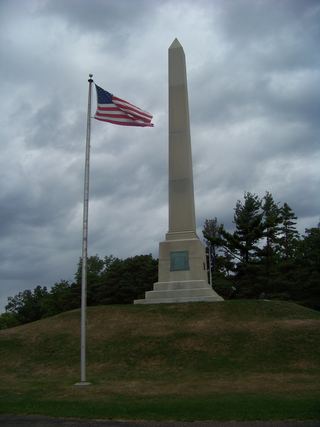 Newtown Battlefield State ParkState Park · Chemung County, NY17 miN
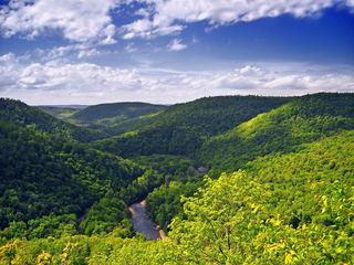 Worlds End State ParkState Park · Sullivan County, PA24 miS
- Hills Creek State ParkState Park · Tioga County, PA26 miW
- Mark Twain State Park and Soaring Eagles Golf CourseState Park · Chemung County, NY29 miN
 Pinnacle State Park and Golf CourseState Park · Steuben County, NY34 miNW
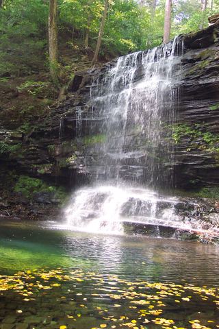 Ricketts Glen State ParkState Park · Luzerne County, PA39 miSE
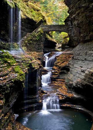 Watkins Glen State ParkState Park · Schuyler County, NY41 miN
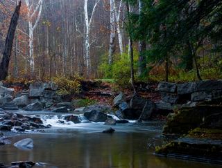 Robert H. Treman State ParkState Park · Tompkins County, NY41 miN
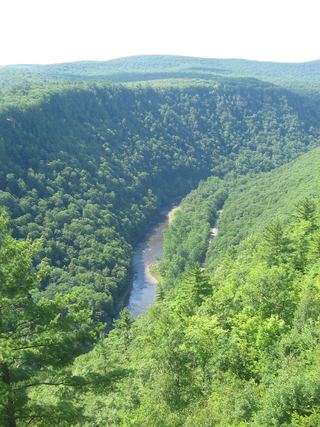 Leonard Harrison State ParkState Park · Tioga County, PA41 miW
Towns near Mt. Pisgah State Park
State parks near Elmira, State parks near Williamsport, State parks near Binghamton, State parks near Ithaca
Facts from Wikidata, checked September 25, 2026. Distances are straight-line.