State Park · Pennsylvania
Reeds Gap State Park
- Location
- Mifflin County, Pennsylvania
- Nearest town
- 6.1 miles east of Milroy
- Type
- State Park
About Reeds Gap State Park
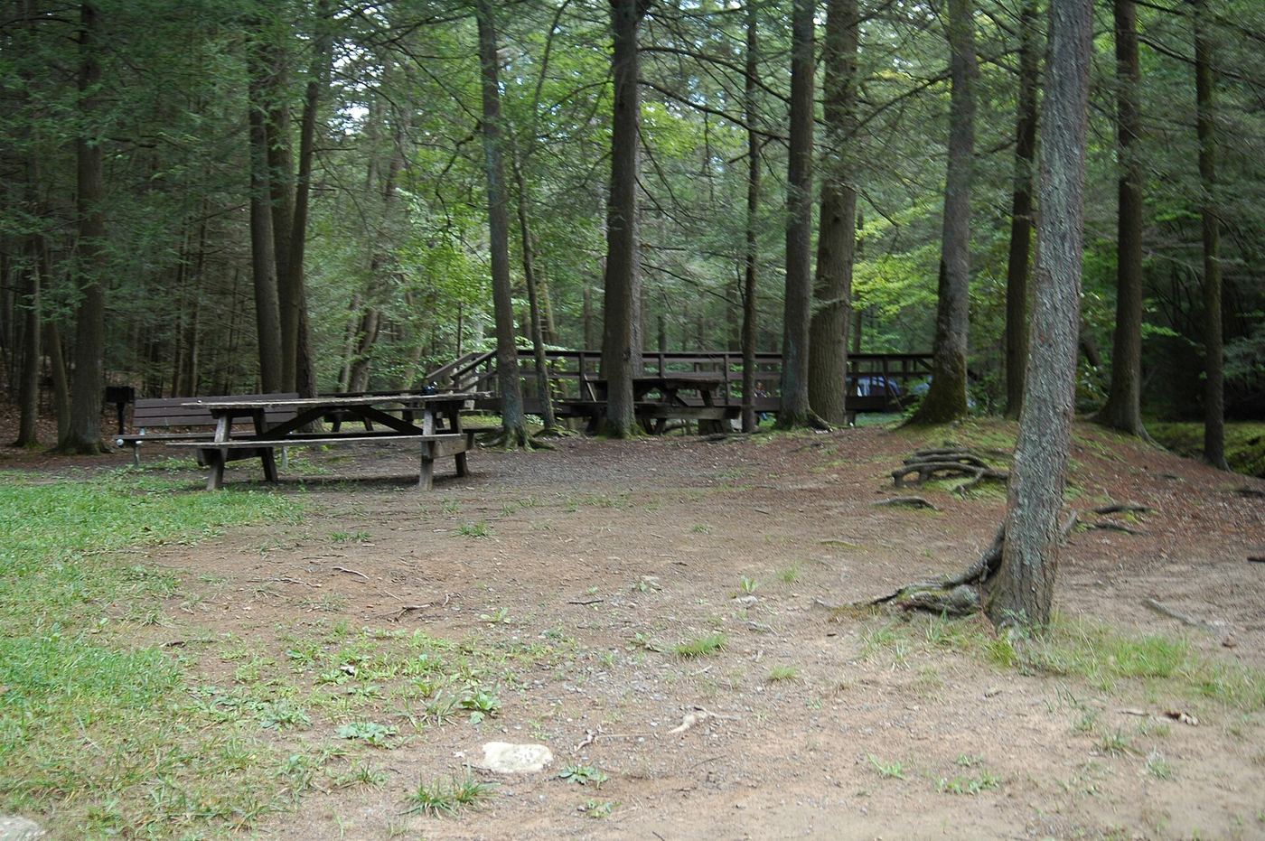
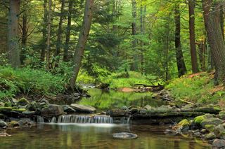
Civilian-era conservation set aside this 220-acre tract of largely wild forest, where stands of large white pine and hemlock have been left to grow undisturbed. Honey Creek runs through the grounds and supports trout, giving the park a working stream rather than just a scenic one. It sits within the New Lancaster Valley, bordered by Bald Eagle State Forest, seven miles from U.S. Route 322.
Hours, fees, camping, reservations and closures are set by the park and change often. Check the official park site before you go.
Getting there
Reeds Gap State Park is in Mifflin County, Pennsylvania, 6.1 miles east of Milroy. The Directions button takes you to the park's mapped location; the entrance may be elsewhere, so check the official site for the address to use.
State parks near Reeds Gap State Park
Within 60 miles, closest first, straight-line. All 114 in Pennsylvania →
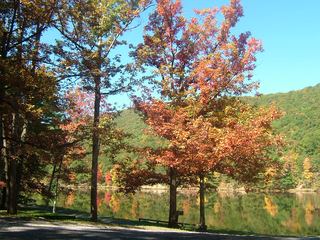 Poe Valley State ParkState Park · Centre County, PA6.9 miN
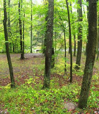 Poe Paddy State ParkState Park · Centre County, PA8.3 miN
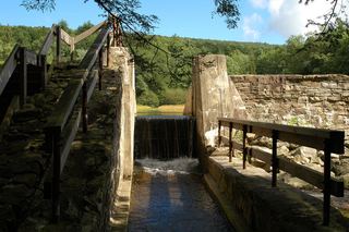 Penn-Roosevelt State ParkState Park · Huntingdon County, PA12 miW
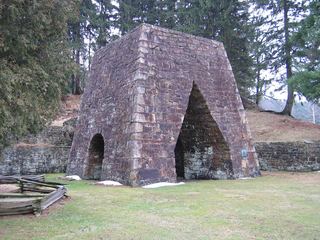 Greenwood Furnace State ParkState Park · Huntingdon County, PA16 miW
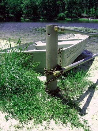 Whipple Dam State ParkState Park · Huntingdon County, PA20 miW
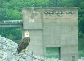 Bald Eagle State ParkState Park · Centre County, PA23 miN
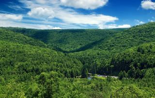 R. B. Winter State ParkState Park · Union County, PA24 miNE
 Little Buffalo State ParkState Park · Perry County, PA24 miSE
 McCalls Dam State ParkState Park · Centre County, PA25 miNE
Towns near Reeds Gap State Park
State parks near State College, State parks near Carlisle, State parks near Williamsport, State parks near Harrisburg, State parks near Shiloh
Facts from Wikidata, checked September 25, 2026. Distances are straight-line.