State Park · Rhode Island
Colt State Park
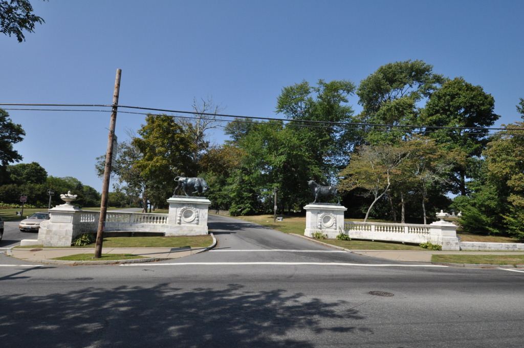
- Location
- Bristol County, Rhode Island
- Nearest town
- 1.7 miles west of Bristol
- Type
- State Park
About Colt State Park
An open air Chapel-by-the-Sea and an observation tower sit among 464 acres of former farmland on Poppasquash Neck, land once held by industrialist Samuel P. Colt. Boat ramps and picnic groves are scattered through the grounds, and the East Bay Bike Path runs through as a stop along its route. The property also forms a major piece of the Poppasquash Farms Historic District, recognized on the National Register of Historic Places.
Hours, fees, camping, reservations and closures are set by the park and change often. Check the official park site before you go.
Getting there
Colt State Park is in Bristol County, Rhode Island, 1.7 miles west of Bristol. The Directions button takes you to the park's mapped location; the entrance may be elsewhere, so check the official site for the address to use.
State parks near Colt State Park
Within 60 miles, closest first, straight-line. All 12 in Rhode Island →
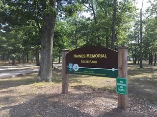 Haines Memorial State ParkState Park · Bristol County, RI5.6 miN
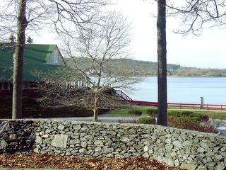 Goddard Memorial State ParkState Park · Kent County, RI7.3 miW
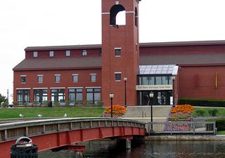 Fall River Heritage State ParkState Park · Bristol County, MA7.4 miE
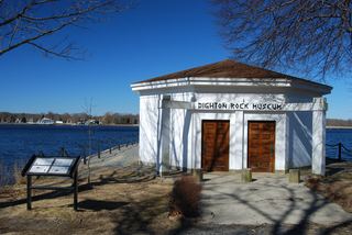 Dighton Rock State ParkState Park · Bristol County, MA14 miNE
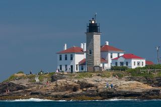 Beavertail State ParkState Park · Newport County, RI17 miS
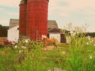 Snake Den State ParkState Park · Providence County, RI17 miNW
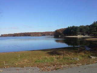 Lincoln Woods State ParkState Park · Providence County, RI17 miNW
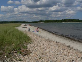 Demarest Lloyd State ParkState Park · Bristol County, MA19 miSE
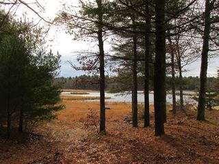 Massasoit State ParkState Park · Plymouth County, MA21 miNE
Towns near Colt State Park
State parks near Portsmouth, State parks near Providence, State parks near New Bedford, State parks near South Kingstown, State parks near Coventry, State parks near Wrentham
Facts from Wikidata, checked September 25, 2026. Distances are straight-line.