State Natural Area · Texas
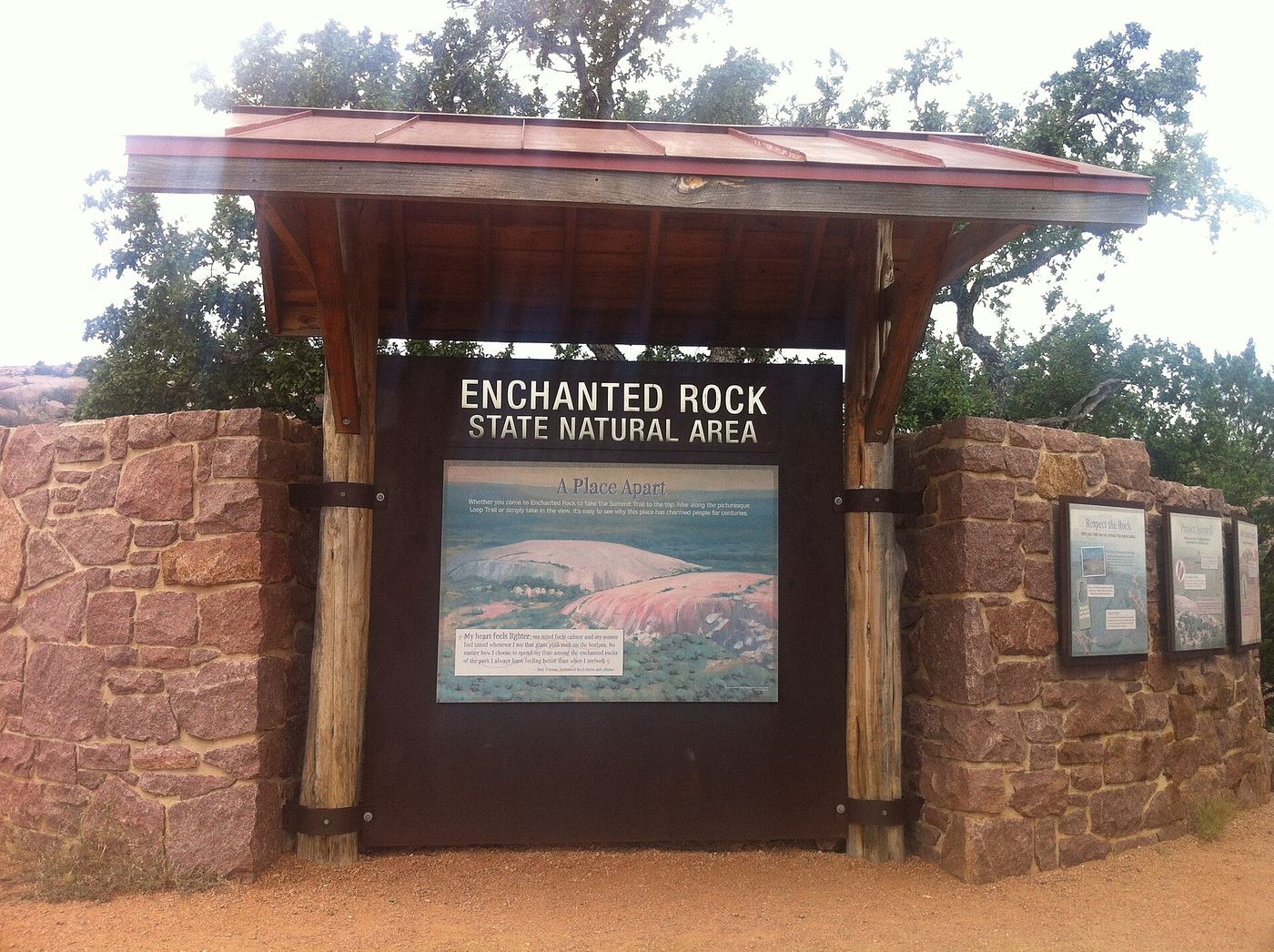
Enchanted Rock State Natural Area
- Location
- Llano County, Texas
- Nearest town
- 16.3 miles north of Fredericksburg
- Type
- State Natural Area
About Enchanted Rock State Natural Area
A pink granite dome rising 425 feet dominates this natural area, formed as a batholith that pushed up from below the surface over time. The reserve spans 5,388 acres across Gillespie and Llano counties and has been under the care of the Texas Parks and Wildlife Department since it opened to visitors in 1984. The rock formation itself serves as the central draw for anyone exploring the grounds.
Hours, fees, camping, reservations and closures are set by the park and change often. Check the official park site before you go.
Getting there
Enchanted Rock State Natural Area is in Llano County, Texas, 16.3 miles north of Fredericksburg. The Directions button takes you to the park's mapped location; the entrance may be elsewhere, so check the official site for the address to use.
State parks near Enchanted Rock State Natural Area
Within 60 miles, closest first, straight-line. All 93 in Texas →
 Lyndon B. Johnson State Park and Historic SiteState Park · Gillespie County, TX22 miSE
 Old Tunnel State ParkState Park · Kendall County, TX28 miS
 Longhorn Cavern State ParkState Park · Burnet County, TX30 miNE
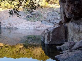 Inks Lake State ParkState Park · Burnet County, TX31 miNE
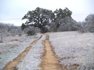 Blanco State ParkState Park · Blanco County, TX37 miSE
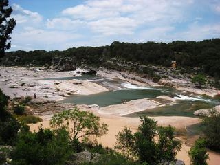 Pedernales Falls State ParkState Park · Blanco County, TX37 miE
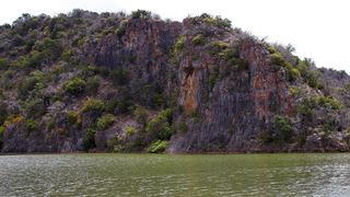 Colorado Bend State ParkState Park · San Saba County, TX43 miNE
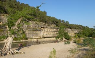 Guadalupe River State ParkState Park · Kendall County, TX48 miSE
- South Llano River State ParkState Park · Kimble County, TX59 miW
Towns near Enchanted Rock State Natural Area
State parks near Fredericksburg, State parks near Kerrville, State parks near Boerne
Facts from Wikidata, checked September 25, 2026. Distances are straight-line.