State Park · Texas
Inks Lake State Park
- Location
- Burnet County, Texas
- Nearest town
- 3.6 miles east of Buchanan Dam
- Type
- State Park
About Inks Lake State Park
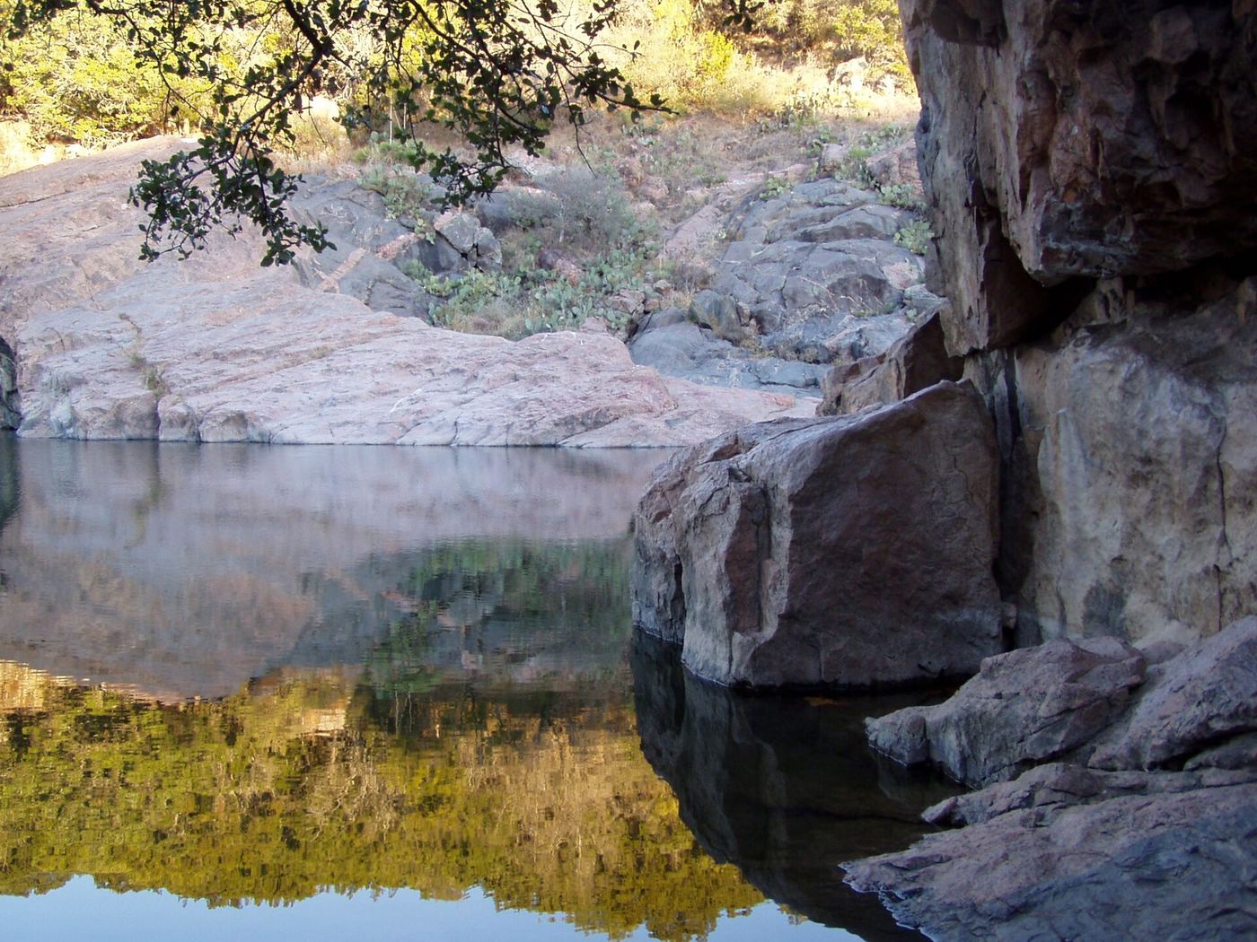
1,201 acres of hill country bordering the Colorado River make up this park, where gneiss rock formations rise through stretches of forest and open ground. Cedar, live oak, prickly pear, and yucca grow across the terrain. Since opening in 1950 under the Texas Parks and Wildlife Department, the grounds have offered swimming, boating, fishing, hiking, and camping along Inks Lake. A rock-lined pocket of the lake called the Devil's Waterhole sits nearly enclosed on all sides by stone.
Hours, fees, camping, reservations and closures are set by the park and change often. Check the official park site before you go.
Getting there
Inks Lake State Park is in Burnet County, Texas, 3.6 miles east of Buchanan Dam. The Directions button takes you to the park's mapped location; the entrance may be elsewhere, so check the official site for the address to use.
State parks near Inks Lake State Park
Within 60 miles, closest first, straight-line. All 93 in Texas →
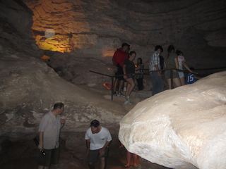 Longhorn Cavern State ParkState Park · Burnet County, TX3.4 miS
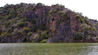 Colorado Bend State ParkState Park · San Saba County, TX23 miN
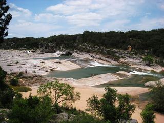 Pedernales Falls State ParkState Park · Blanco County, TX31 miS
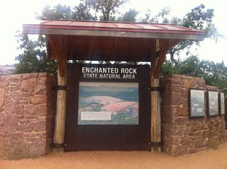 Enchanted Rock State Natural AreaState Natural Area · Llano County, TX31 miSW
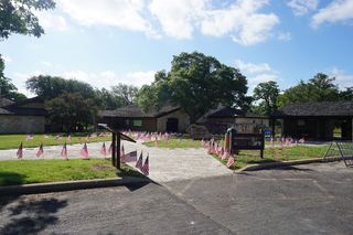 Lyndon B. Johnson State Park and Historic SiteState Park · Gillespie County, TX37 miSW
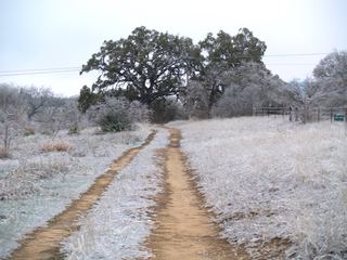 Blanco State ParkState Park · Blanco County, TX44 miS
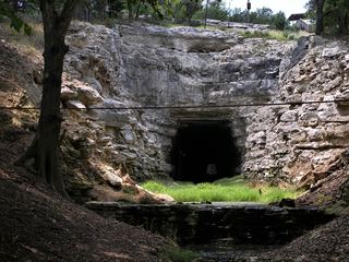 Old Tunnel State ParkState Park · Kendall County, TX51 miSW
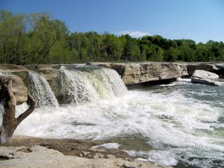 McKinney Falls State ParkState Park · Travis County, TX54 miSE
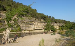 Guadalupe River State ParkState Park · Kendall County, TX60 miS
Towns near Inks Lake State Park
State parks near Lakeway, State parks near Fredericksburg, State parks near Round Rock, State parks near Killeen, State parks near Austin
Facts from Wikidata, checked September 25, 2026. Distances are straight-line.