State Park · Texas
Lockhart State Park
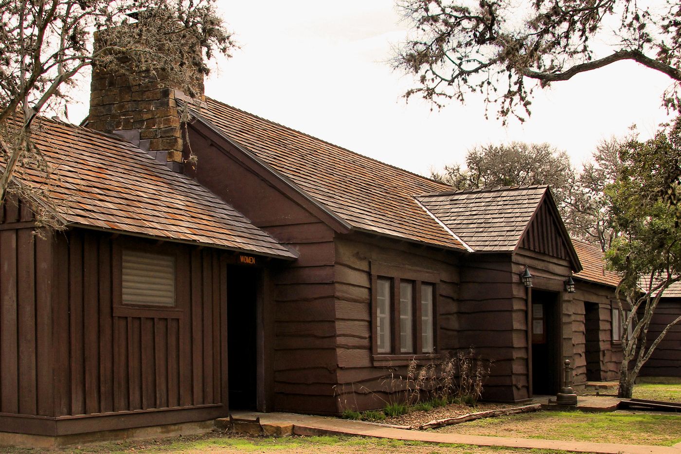
- Location
- Caldwell County, Texas
- Nearest town
- 2.6 miles southwest of Lockhart
- Type
- State Park
About Lockhart State Park
Clear Fork Plum Creek runs through the 453-acre grounds, which sit at the southwestern edge of town. Civilian Conservation Corps Company 3803 built the park's facilities between 1935 and 1938, and it was formally designated a state park in 1948. It has been managed since by the Texas Parks and Wildlife Department.
Hours, fees, camping, reservations and closures are set by the park and change often. Check the official park site before you go.
Getting there
Lockhart State Park is in Caldwell County, Texas, 2.6 miles southwest of Lockhart. The Directions button takes you to the park's mapped location; the entrance may be elsewhere, so check the official site for the address to use.
State parks near Lockhart State Park
Within 60 miles, closest first, straight-line. All 93 in Texas →
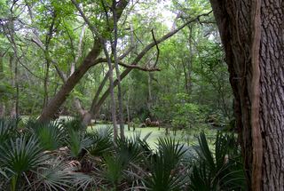 Palmetto State ParkState Park · Gonzales County, TX20 miS
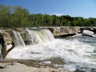 McKinney Falls State ParkState Park · Travis County, TX23 miN
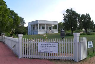 Sebastopol House State Historic SiteState Historic Site · Guadalupe County, TX26 miSW
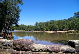 Bastrop State ParkState Park · Bastrop County, TX31 miNE
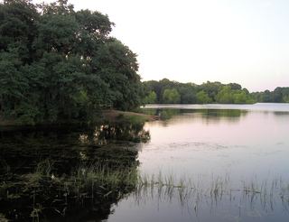 Buescher State ParkState Park · Bastrop County, TX35 miE
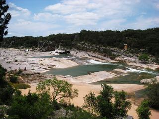 Pedernales Falls State ParkState Park · Blanco County, TX45 miNW
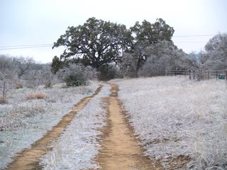 Blanco State ParkState Park · Blanco County, TX46 miW
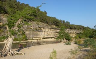 Guadalupe River State ParkState Park · Kendall County, TX48 miW
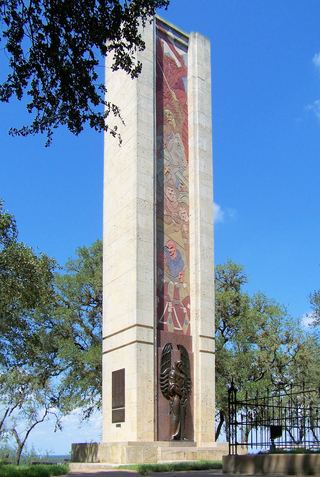 Monument Hill and Kreische Brewery State Historic SitesState Historic Site · Fayette County, TX49 miE
Towns near Lockhart State Park
State parks near Lockhart, State parks near San Marcos, State parks near New Braunfels, State parks near Austin, State parks near Lakeway, State parks near Round Rock
Facts from Wikidata, checked September 25, 2026. Distances are straight-line.