State Park · Texas
McKinney Falls State Park
- Location
- Travis County, Texas
- Nearest town
- 4.8 miles northeast of Onion Creek
- Type
- State Park
About McKinney Falls State Park
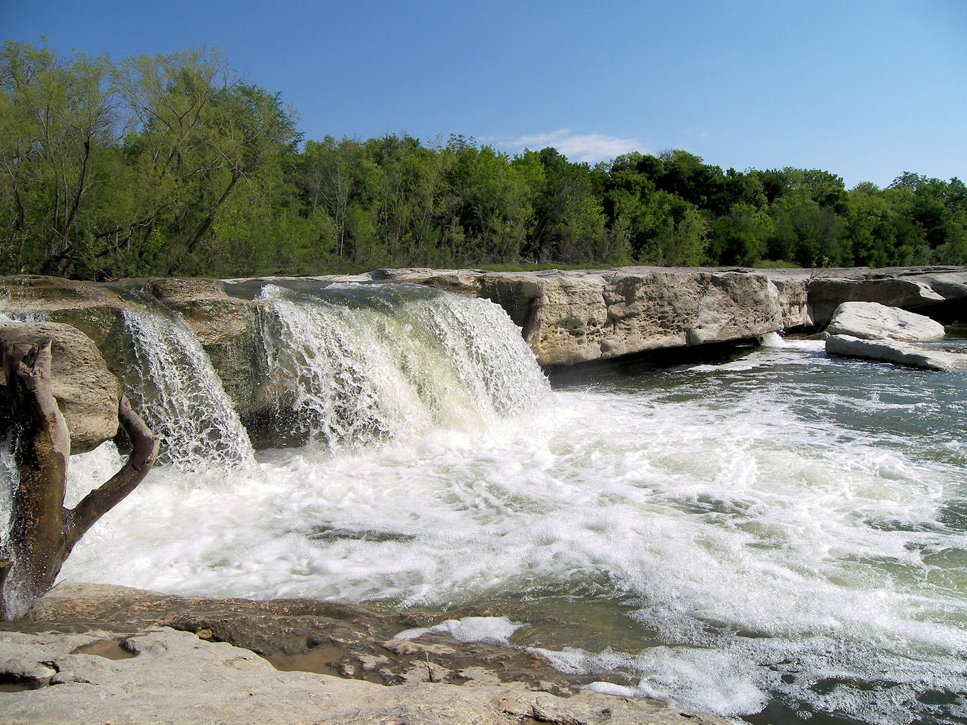
Thomas F. McKinney, a rancher and race horse breeder who owned this land in the mid-to-late 19th century, gave the park its name. The 744.4-acre property sits where Onion Creek meets Williamson Creek, with upper and lower falls along Onion Creek as its namesake features. It also lies along the El Camino Real de los Tejas National Historic Trail. The park opened on April 15, 1976 under the Texas Parks and Wildlife Department.
Hours, fees, camping, reservations and closures are set by the park and change often. Check the official park site before you go.
Getting there
McKinney Falls State Park is in Travis County, Texas, 4.8 miles northeast of Onion Creek. The Directions button takes you to the park's mapped location; the entrance may be elsewhere, so check the official site for the address to use.
State parks near McKinney Falls State Park
Within 60 miles, closest first, straight-line. All 93 in Texas →
 Lockhart State ParkState Park · Caldwell County, TX23 miS
 Bastrop State ParkState Park · Bastrop County, TX27 miE
 Pedernales Falls State ParkState Park · Blanco County, TX32 miW
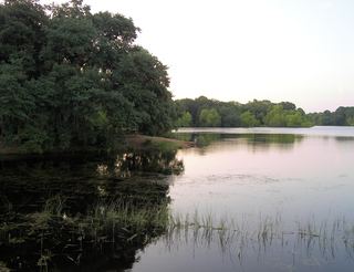 Buescher State ParkState Park · Bastrop County, TX35 miE
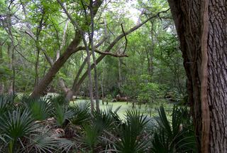 Palmetto State ParkState Park · Gonzales County, TX42 miS
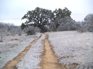 Blanco State ParkState Park · Blanco County, TX42 miW
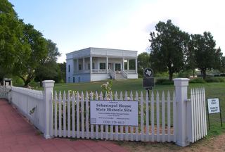 Sebastopol House State Historic SiteState Historic Site · Guadalupe County, TX45 miS
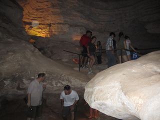 Longhorn Cavern State ParkState Park · Burnet County, TX51 miNW
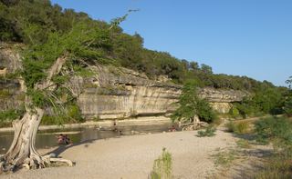 Guadalupe River State ParkState Park · Kendall County, TX51 miSW
Towns near McKinney Falls State Park
State parks near Austin, State parks near Lakeway, State parks near Lockhart, State parks near Round Rock, State parks near San Marcos, State parks near Taylor
Facts from Wikidata, checked September 25, 2026. Distances are straight-line.