State Park · Virginia
Westmoreland State Park
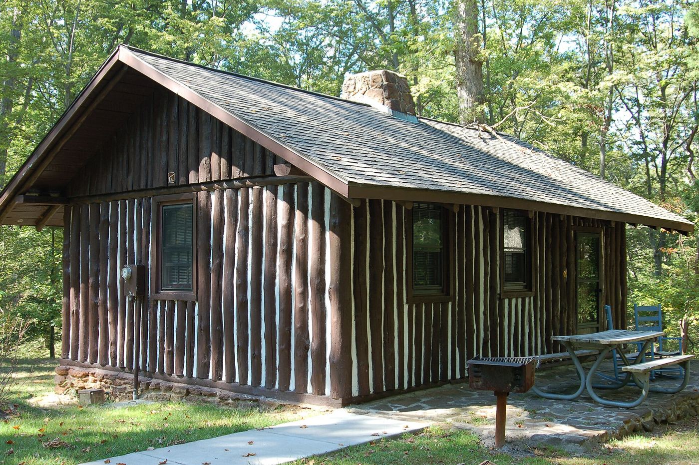
- Location
- Westmoreland County, Virginia
- Nearest town
- 5.1 miles northwest of Montross
- Type
- State Park
About Westmoreland State Park
The Potomac River borders the park for about a mile and a half, framed by the Horsehead Cliffs, which rise above the water and give visitors a wide view over the river. Below the cliffs, the shoreline holds fossils and gives access to the beach. The park covers 1,321 acres on the Northern Neck Peninsula and offers hiking, camping, cabins, fishing and boating, though its swimming pool has been closed since 2021 due to mechanical problems.
Hours, fees, camping, reservations and closures are set by the park and change often. Check the official park site before you go.
Getting there
Westmoreland State Park is in Westmoreland County, Virginia, 5.1 miles northwest of Montross. The Directions button takes you to the park's mapped location; the entrance may be elsewhere, so check the official site for the address to use.
State parks near Westmoreland State Park
Within 60 miles, closest first, straight-line. All 42 in Virginia →
- Newtowne Neck State ParkState Park · St. Mary's County, MD10 miNE
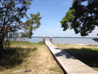 Caledon State ParkState Park · King George County, VA20 miNW
- St. Mary's River State ParkState Park · St. Mary's County, MD21 miE
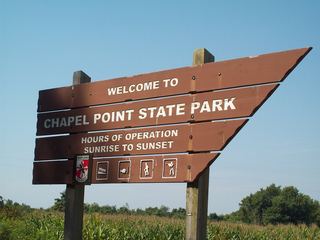 Chapel Point State ParkState Park · Charles County, MD23 miN
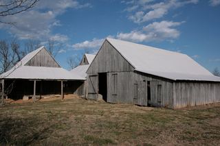 Greenwell State ParkState Park · St. Mary's County, MD23 miNE
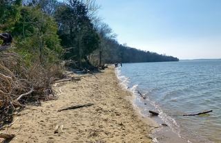 Purse State ParkState Park · Charles County, MD28 miNW
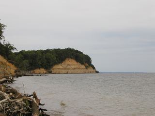 Calvert Cliffs State ParkState Park · Calvert County, MD29 miNE
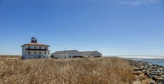 Point Lookout State ParkState Park · St. Mary's County, MD30 miE
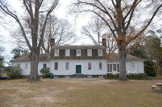 Belle Isle State ParkState Park · Lancaster County, VA30 miSE
Towns near Westmoreland State Park
State parks near California, State parks near Waldorf, State parks near Fredericksburg, State parks near Dale City
Facts from Wikidata, checked September 25, 2026. Distances are straight-line.