State Park · Minnesota
Banning State Park
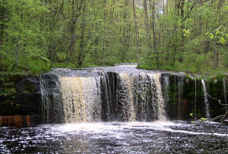
- Location
- Pine County, Minnesota
- Nearest town
- 2.4 miles north of Sandstone
- Type
- State Park
About Banning State Park
Ten miles of the Kettle River run through the park, including a mile and a half of rapids that reach Class IV, with named stretches like Blueberry Slide, Dragon's Tooth, and Hell's Gate drawing kayakers and canoeists each spring. Hikers can follow this stretch of what was designated the state's first Wild and Scenic River, passing sandstone formations, river-carved potholes, and the remains of an old quarry. Wolf Creek Falls and Robinson Ice Cave are also within the park's grounds.
Hours, fees, camping, reservations and closures are set by the park and change often. Check the official park site before you go.
Getting there
Banning State Park is in Pine County, Minnesota, 2.4 miles north of Sandstone. The Directions button takes you to the park's mapped location; the entrance may be elsewhere, so check the official site for the address to use.
State parks near Banning State Park
Within 60 miles, closest first, straight-line. All 73 in Minnesota →
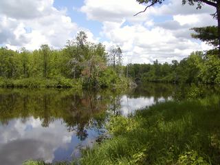 St. Croix State ParkState Park · Pine County, MN18 miSE
- Moose Lake State Recreation AreaState Recreation Area · Carlton County, MN20 miN
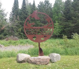 Moose Lake State ParkState Park · Carlton County, MN20 miN
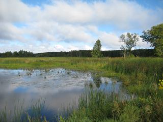 Father Hennepin State ParkState Park · Mille Lacs County, MN30 miW
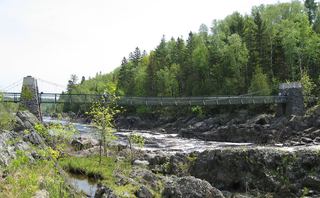 Jay Cooke State ParkState Park · Carlton County, MN42 miNE
 Mille Lacs Kathio State ParkState Park · Mille Lacs County, MN42 miW
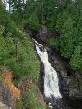 Pattison State ParkState Park · Douglas County, WI43 miNE
 Straight Lake State ParkState Park · Polk County, WI44 miSE
 Wild River State ParkState Park · Chisago County, MN46 miS
Towns near Banning State Park
Facts from Wikidata, checked September 25, 2026. Distances are straight-line.