State Park · Alabama
Buck's Pocket State Park
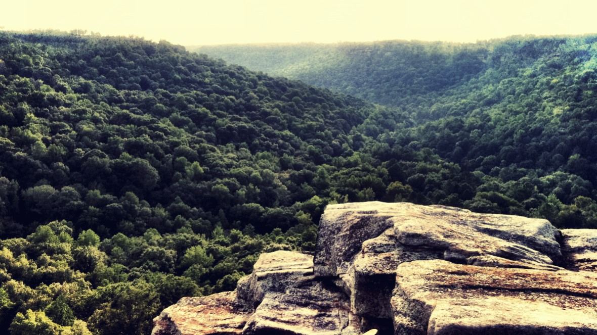
- Location
- Marshall County, Alabama
- Nearest town
- 9.3 miles west of Fyffe
- Type
- State Park
About Buck's Pocket State Park
South Sauty Creek cuts through a natural canyon on Sand Mountain, forming the pocket of rock and forest that gives this 2,000-acre park its name. The creek runs as a tributary into Guntersville Lake on the park's west side. From Point Rock, the surrounding terrain can be viewed as rugged and largely undeveloped, overlooking the canyon below. The park was established in 1971 within this stretch of the Appalachian chain.
Hours, fees, camping, reservations and closures are set by the park and change often. Check the official park site before you go.
Getting there
Buck's Pocket State Park is in Marshall County, Alabama, 9.3 miles west of Fyffe. The Directions button takes you to the park's mapped location; the entrance may be elsewhere, so check the official site for the address to use.
State parks near Buck's Pocket State Park
Within 60 miles, closest first, straight-line. All 24 in Alabama →
 Lake Guntersville State ParkState Park · Marshall County, AL9.8 miSW
 Cathedral Caverns State ParkState Park · Marshall County, AL11 miNW
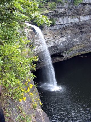 DeSoto State ParkState Park · DeKalb County, AL25 miE
 Monte Sano State ParkState Park · Madison County, AL31 miNW
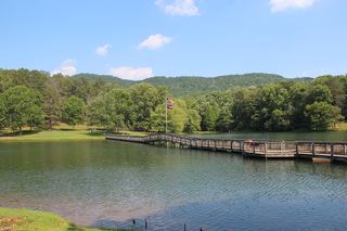 James H. Floyd State ParkState Park · Chattooga County, GA41 miE
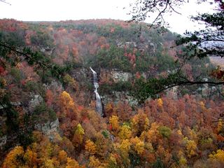 Cloudland Canyon State ParkState Park · Dade County, GA42 miNE
 Tims Ford State ParkState Park · Franklin County, TN53 miN
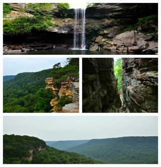 South Cumberland State ParkState Park · Grundy County, TN57 miN
Towns near Buck's Pocket State Park
State parks near Scottsboro, State parks near Albertville, State parks near Fort Payne, State parks near Gadsden, State parks near Huntsville, State parks near Cullman
Facts from Wikidata, checked September 25, 2026. Distances are straight-line.