State Park · Alabama
DeSoto State Park
- Location
- DeKalb County, Alabama
- Nearest town
- 6.7 miles northeast of Fort Payne
- Type
- State Park
About DeSoto State Park
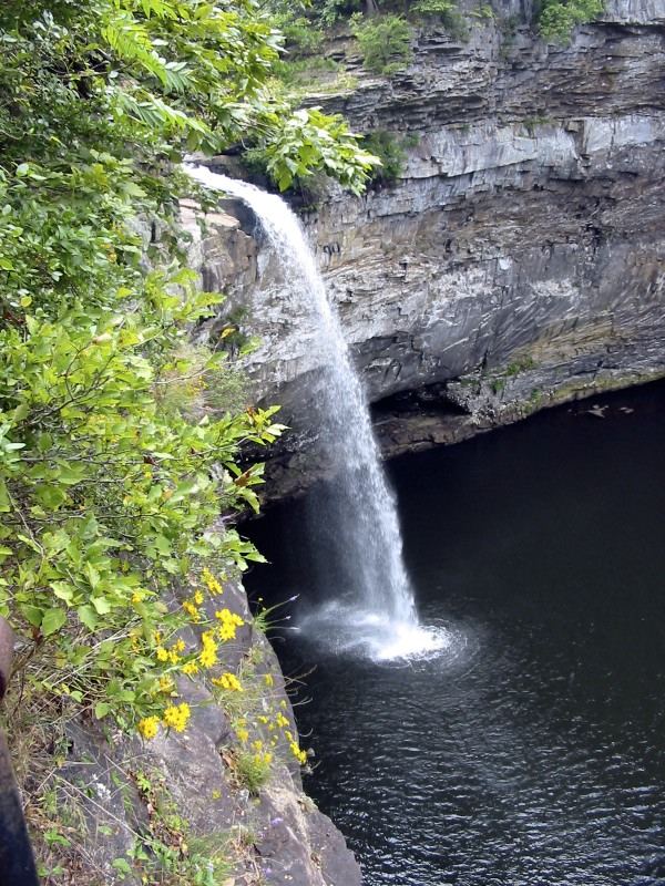
Civilian Conservation Corps-era conservation efforts shaped much of this land atop Lookout Mountain, which now spans 3,502 acres of forest, rivers, waterfalls, and mountain terrain. The park borders the Little River as it flows toward Little River Canyon National Preserve, and a separate section six miles north holds DeSoto Falls, a 104-foot drop recognized as Alabama's highest waterfall.
Hours, fees, camping, reservations and closures are set by the park and change often. Check the official park site before you go.
Getting there
DeSoto State Park is in DeKalb County, Alabama, 6.7 miles northeast of Fort Payne. The Directions button takes you to the park's mapped location; the entrance may be elsewhere, so check the official site for the address to use.
State parks near DeSoto State Park
Within 60 miles, closest first, straight-line. All 24 in Alabama →
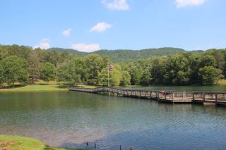 James H. Floyd State ParkState Park · Chattooga County, GA16 miE
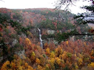 Cloudland Canyon State ParkState Park · Dade County, GA25 miN
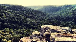 Buck's Pocket State ParkState Park · Marshall County, AL25 miW
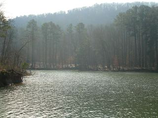 Lake Guntersville State ParkState Park · Marshall County, AL34 miW
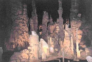 Cathedral Caverns State ParkState Park · Marshall County, AL35 miW
 Booker T. Washington State ParkState Park · Hamilton County, TN49 miNE
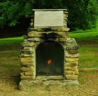 Red Clay State ParkState Park · Bradley County, TN51 miNE
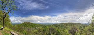 Monte Sano State ParkState Park · Madison County, AL53 miW
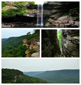 South Cumberland State ParkState Park · Grundy County, TN54 miN
Towns near DeSoto State Park
State parks near Fort Payne, State parks near Scottsboro, State parks near Rome, State parks near Albertville, State parks near Calhoun, State parks near Gadsden
Facts from Wikidata, checked September 25, 2026. Distances are straight-line.