State Park · Arkansas
DeGray Lake Resort State Park
- Location
- Hot Spring County, Arkansas
- Nearest town
- 10.3 miles northwest of Arkadelphia
- Type
- State Park
About DeGray Lake Resort State Park
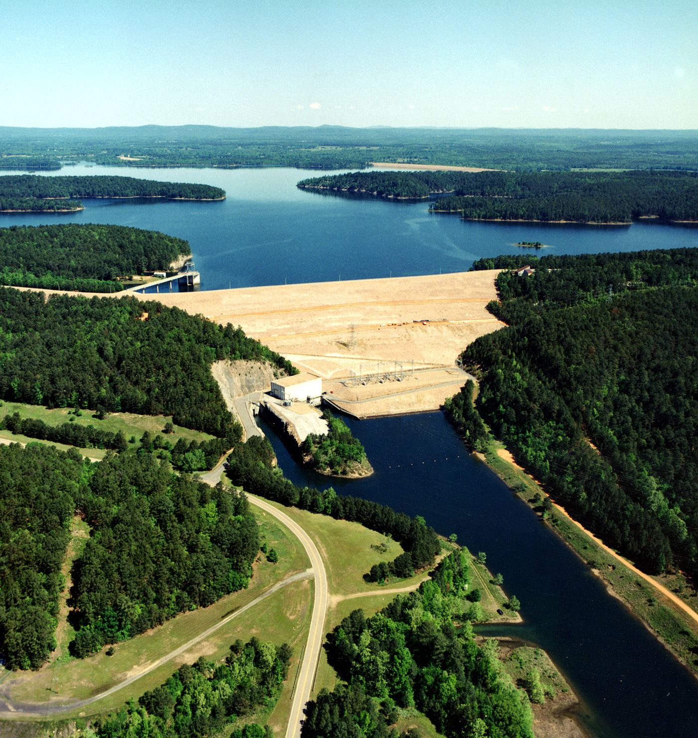
The Army Corps of Engineers dammed the Caddo River in 1963, and the reservoir that formed became DeGray Lake, spanning 13,800 acres within the Ouachita Mountains. Public interest in a state park grew after construction began, leading to the park's creation in 1974 on 984 acres, with a resort and an 18-hole championship golf course added the following year. It remains Arkansas's only state park with a resort.
Hours, fees, camping, reservations and closures are set by the park and change often. Check the official park site before you go.
Getting there
DeGray Lake Resort State Park is in Hot Spring County, Arkansas, 10.3 miles northwest of Arkadelphia. The Directions button takes you to the park's mapped location; the entrance may be elsewhere, so check the official site for the address to use.
State parks near DeGray Lake Resort State Park
Within 60 miles, closest first, straight-line. All 41 in Arkansas →
 Lake Catherine State ParkState Park · Hot Spring County, AR19 miNE
 Crater of Diamonds State ParkState Park · Pike County, AR33 miSW
- Daisy State ParkState Park · Pike County, AR34 miW
- Jenkins' Ferry Battleground State ParkState Park · Grant County, AR34 miE
 White Oak Lake State ParkState Park · Nevada County, AR39 miS
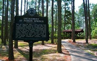 Poison Springs Battleground State ParkState Park · Ouachita County, AR43 miS
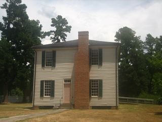 Historic Washington State ParkState Park · Hempstead County, AR45 miSW
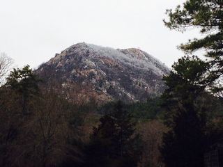 Pinnacle Mountain State ParkState Park · Pulaski County, AR56 miNE
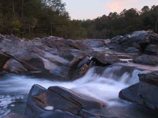 Cossatot River State Park-Natural AreaState Park · Howard County, AR58 miW
Towns near DeGray Lake Resort State Park
State parks near Arkadelphia, State parks near Hot Springs, State parks near Malvern, State parks near Benton, State parks near Camden
Facts from Wikidata, checked September 25, 2026. Distances are straight-line.