State Park · Colorado
Castlewood Canyon State Park
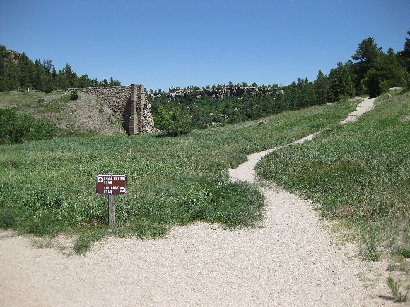
- Location
- Douglas County, Colorado
- Nearest town
- 6.9 miles southeast of Castle Rock
- Type
- State Park
About Castlewood Canyon State Park
Cherry Creek cuts through a canyon here, and the park holds the ruins of the Castlewood Canyon Dam, which failed in 1933 and sent a 15-foot wave of water downstream to Denver, causing flooding in the city. Visitors can see the damaged remains of the structure. The park also contains the historic Cherry Creek Bridge.
Hours, fees, camping, reservations and closures are set by the park and change often. Check the official park site before you go.
Getting there
Castlewood Canyon State Park is in Douglas County, Colorado, 6.9 miles southeast of Castle Rock. The Directions button takes you to the park's mapped location; the entrance may be elsewhere, so check the official site for the address to use.
State parks near Castlewood Canyon State Park
Within 60 miles, closest first, straight-line. All 45 in Colorado →
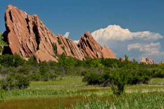 Roxborough State ParkState Park · Douglas County, CO19 miW
 Cherry Creek State ParkState Park · Arapahoe County, CO22 miN
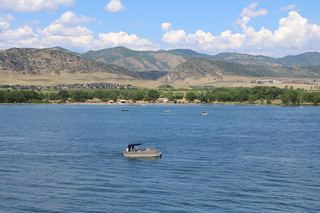 Chatfield State ParkState Park · Jefferson County, CO23 miNW
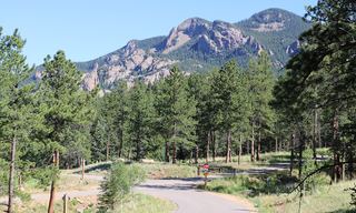 Staunton State ParkState Park · Park County, CO38 miW
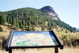 Mueller State ParkState Park · Teller County, CO39 miSW
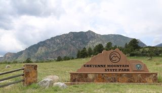 Cheyenne Mountain State ParkState Park · El Paso County, CO41 miS
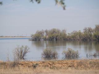 Barr Lake State ParkState Park · Adams County, CO42 miN
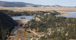 Eleven Mile State ParkState Park · Park County, CO49 miSW
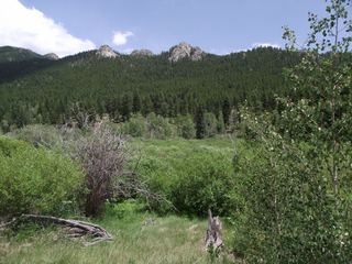 Golden Gate Canyon State ParkState Park · Gilpin County, CO50 miNW
Towns near Castlewood Canyon State Park
State parks near Castle Rock, State parks near Denver, State parks near Colorado Springs, State parks near Brighton
Facts from Wikidata, checked September 25, 2026. Distances are straight-line.