State Park · Connecticut
Farmington Canal State Park Trail
- Location
- New Haven County, Connecticut
- Nearest town
- 1.9 miles southwest of Cheshire
- Type
- State Park
About Farmington Canal State Park Trail
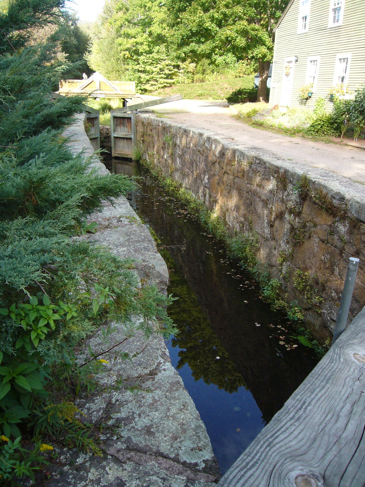
A paved multi-use path follows the former route of the Farmington Canal for over 17 miles, stretching from Lazy Lane in Southington to Todd Street in Hamden through Cheshire and Hamden. Along the way it passes the restored Lock 12, a surviving structure from the historic canal, located south of Brooksvale Road. The route accommodates hiking, biking, jogging, in-line skating and cross-country skiing.
Hours, fees, camping, reservations and closures are set by the park and change often. Check the official park site before you go.
Getting there
Farmington Canal State Park Trail is in New Haven County, Connecticut, 1.9 miles southwest of Cheshire. The Directions button takes you to the park's mapped location; the entrance may be elsewhere, so check the official site for the address to use.
State parks near Farmington Canal State Park Trail
Within 60 miles, closest first, straight-line. All 94 in Connecticut →
- Sleeping Giant State ParkState Park · New Haven County, CT3.6 miSE
 Quinnipiac River State ParkState Park · New Haven County, CT5.2 miSE
 Wharton Brook State ParkState Park · New Haven County, CT5.8 miSE
 Whittemore Glen State ParkState Park · New Haven County, CT7.8 miW
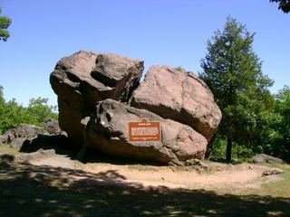 West Rock Ridge State ParkState Park · New Haven County, CT8.5 miS
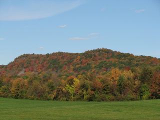 Tri-Mountain State ParkState Park · Middlesex County, CT9.6 miE
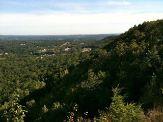 Lamentation Mountain State ParkState Park · Hartford County, CT11 miNE
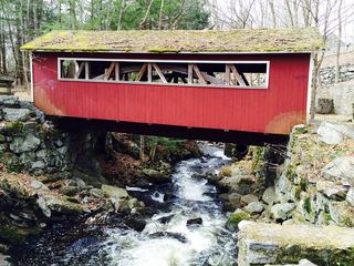 Southford Falls State ParkState Park · New Haven County, CT13 miW
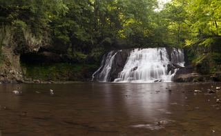 Wadsworth Falls State ParkState Park · Middlesex County, CT13 miE
Towns near Farmington Canal State Park Trail
State parks near Waterbury, State parks near New Haven, State parks near Madison, State parks near Hartford, State parks near Bridgeport, State parks near West Torrington
Facts from Wikidata, checked September 25, 2026. Distances are straight-line.