State Park · Georgia
Red Top Mountain State Park
- Location
- Bartow County, Georgia
- Nearest town
- 3 miles east of Emerson
- Type
- State Park
About Red Top Mountain State Park
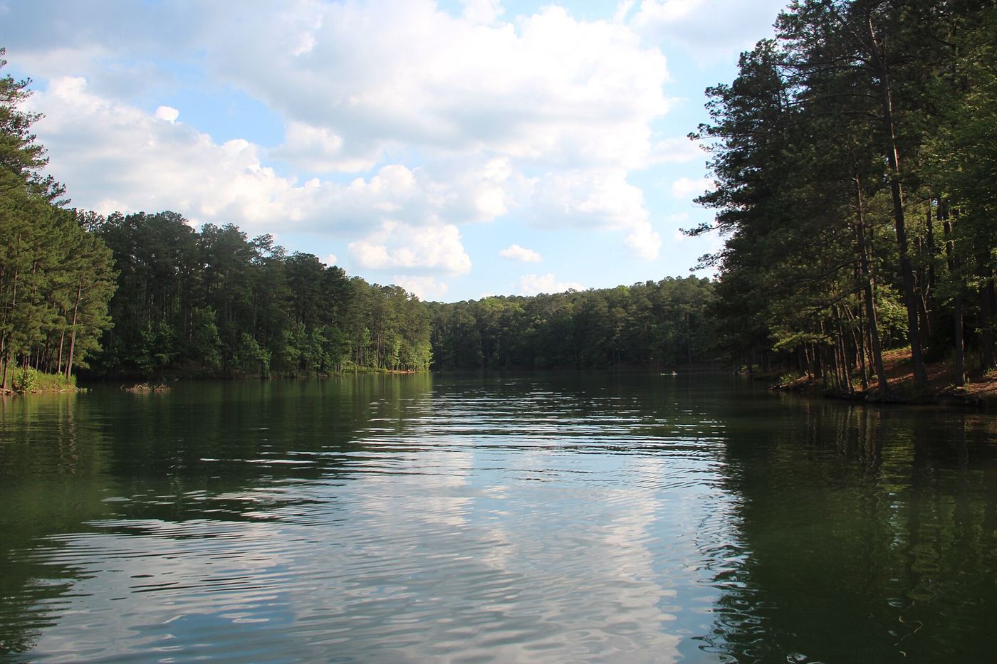
Lake Allatoona surrounds most of this land, wrapping around a peninsula shaped by the Etowah River on the north and east and Allatoona Creek on the west. The park covers 1,776 acres and takes its name from Red Top Mountain, so called for its iron-rich soil. The surrounding water on three sides defines the shape and reach of the property.
Hours, fees, camping, reservations and closures are set by the park and change often. Check the official park site before you go.
Getting there
Red Top Mountain State Park is in Bartow County, Georgia, 3 miles east of Emerson. The Directions button takes you to the park's mapped location; the entrance may be elsewhere, so check the official site for the address to use.
State parks near Red Top Mountain State Park
Within 60 miles, closest first, straight-line. All 48 in Georgia →
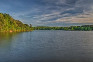 Sweetwater Creek State ParkState Park · Douglas County, GA27 miS
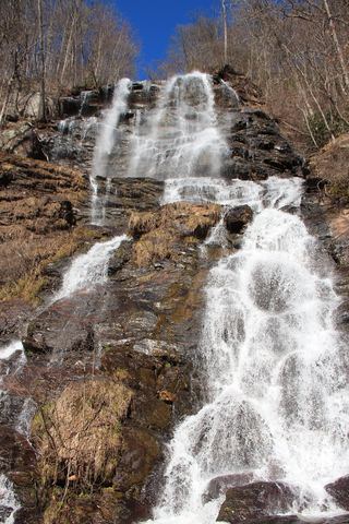 Amicalola Falls State ParkState Park · Dawson County, GA39 miNE
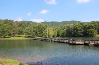 James H. Floyd State ParkState Park · Chattooga County, GA41 miNW
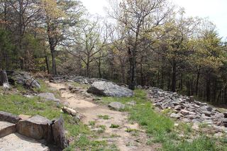 Fort Mountain State ParkState Park · Murray County, GA43 miN
- John Tanner State ParkState Park · Carroll County, GA46 miSW
- Panola Mountain State ParkState Park · Rockdale County, GA47 miSE
- Chattahoochee Bend State ParkState Park · Coweta County, GA52 miS
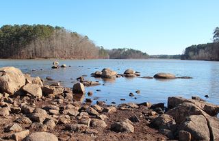 Fort Yargo State ParkState Park · Barrow County, GA57 miE
- Don Carter State ParkState Park · Hall County, GA57 miE
Towns near Red Top Mountain State Park
State parks near Acworth, State parks near Canton, State parks near Roswell, State parks near Rome, State parks near Calhoun, State parks near Atlanta
Facts from Wikidata, checked September 25, 2026. Distances are straight-line.