State Park · Maryland
Gunpowder Falls State Park
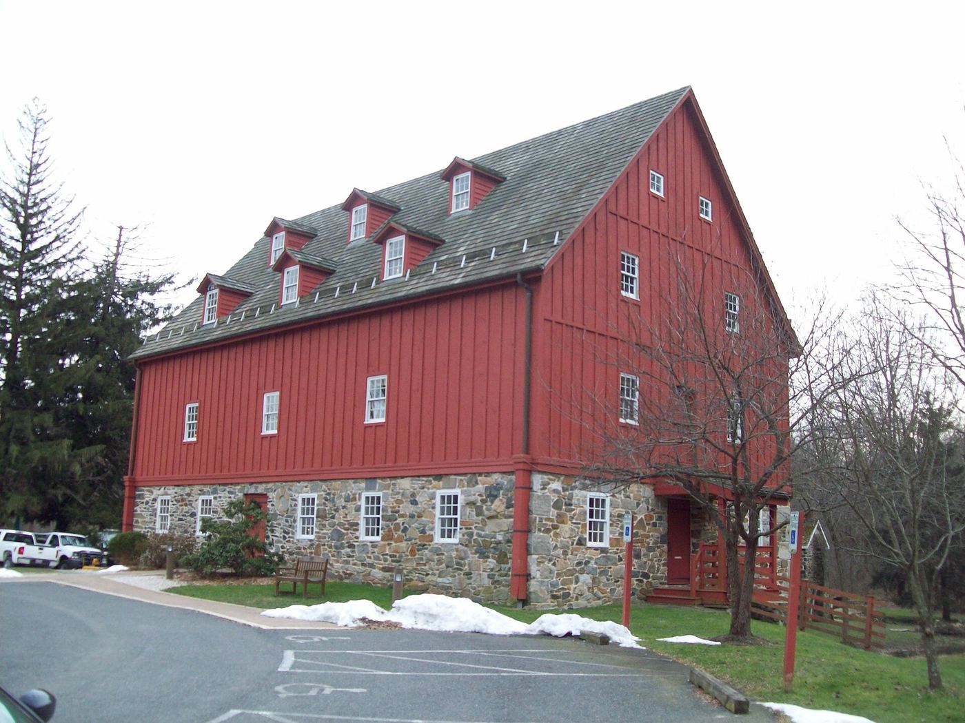
- Location
- Baltimore County, Maryland
- Nearest town
- 3.5 miles northeast of Lutherville-Timonium
- Type
- State Park
About Gunpowder Falls State Park
The Big and Little Gunpowder Falls and the Gunpowder River form the backbone of this park, which spreads across six separate tracts totaling 15,088 acres. The terrain shifts from tidal marshes to steep interior slopes along these waterways. More than 120 miles of trails accommodate hiking, biking, horseback riding, and cross-country skiing, while the water supports tubing, canoeing, kayaking, tide-water fishing, crabbing, and fly fishing. Hunting is also permitted in designated areas.
Hours, fees, camping, reservations and closures are set by the park and change often. Check the official park site before you go.
Getting there
Gunpowder Falls State Park is in Baltimore County, Maryland, 3.5 miles northeast of Lutherville-Timonium. The Directions button takes you to the park's mapped location; the entrance may be elsewhere, so check the official site for the address to use.
State parks near Gunpowder Falls State Park
Within 60 miles, closest first, straight-line. All 46 in Maryland →
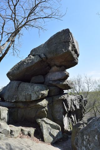 Rocks State ParkState Park · Harford County, MD14 miNE
 Patapsco Valley State ParkState Park · Baltimore County, MD17 miSW
- Palmer State ParkState Park · Harford County, MD18 miNE
 North Point State ParkState Park · Baltimore County, MD20 miS
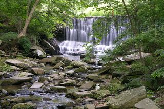 Susquehanna State ParkState Park · Harford County, MD25 miE
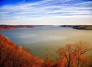 Susquehannock State ParkState Park · Lancaster County, PA27 miNE
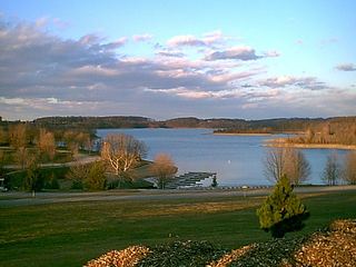 Codorus State ParkState Park · York County, PA28 miNW
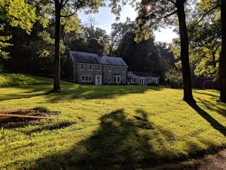 Patuxent River State ParkState Park · Montgomery County, MD31 miSW
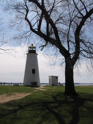 Elk Neck State ParkState Park · Cecil County, MD32 miE
Towns near Gunpowder Falls State Park
State parks near South Bel Air, State parks near Baltimore, State parks near Eldersburg, State parks near Scaggsville, State parks near Hanover, State parks near York
Facts from Wikidata, checked September 25, 2026. Distances are straight-line.