State Park · Maryland
Rocks State Park
- Location
- Harford County, Maryland
- Nearest town
- 3.9 miles northeast of Jarrettsville
- Type
- State Park
About Rocks State Park
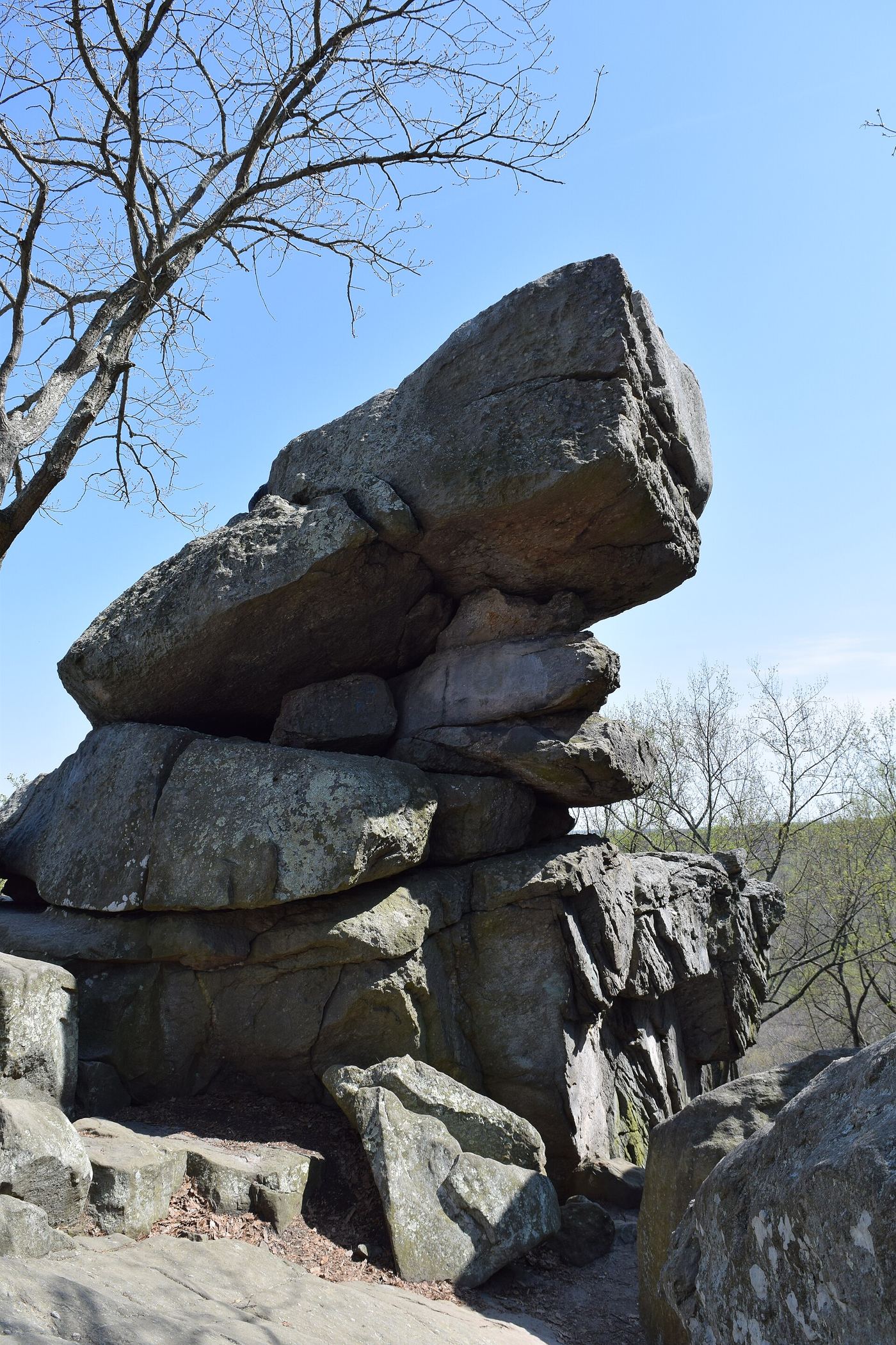
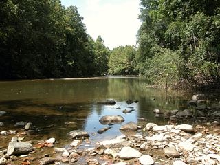
A rock outcropping called the King and Queen's Seat anchors the land the park was set aside to protect, rising above Deer Creek Valley. The park covers 1,060 acres split across three separate, non-adjoining sections near where Routes 24 and 165 meet. Maryland's Department of Natural Resources manages the property, which preserves this geologic formation along with other rock features in the valley.
Hours, fees, camping, reservations and closures are set by the park and change often. Check the official park site before you go.
Getting there
Rocks State Park is in Harford County, Maryland, 3.9 miles northeast of Jarrettsville. The Directions button takes you to the park's mapped location; the entrance may be elsewhere, so check the official site for the address to use.
State parks near Rocks State Park
Within 60 miles, closest first, straight-line. All 46 in Maryland →
- Palmer State ParkState Park · Harford County, MD7.8 miE
 Gunpowder Falls State ParkState Park · Baltimore County, MD14 miSW
 Susquehannock State ParkState Park · Lancaster County, PA14 miNE
 Susquehanna State ParkState Park · Harford County, MD15 miE
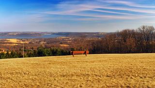 Samuel S. Lewis State ParkState Park · York County, PA26 miN
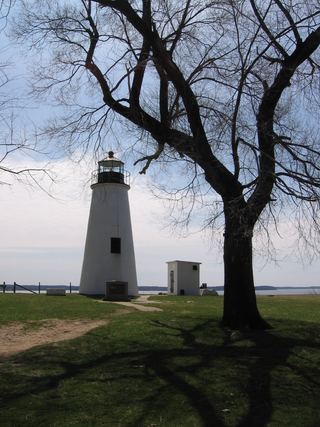 Elk Neck State ParkState Park · Cecil County, MD26 miSE
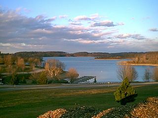 Codorus State ParkState Park · York County, PA29 miW
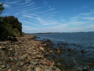 North Point State ParkState Park · Baltimore County, MD29 miS
 Patapsco Valley State ParkState Park · Baltimore County, MD31 miSW
Towns near Rocks State Park
State parks near South Bel Air, State parks near Baltimore, State parks near York, State parks near Lancaster, State parks near Hanover, State parks near Eldersburg
Facts from Wikidata, checked September 25, 2026. Distances are straight-line.