State Park · Minnesota
Fort Snelling State Park
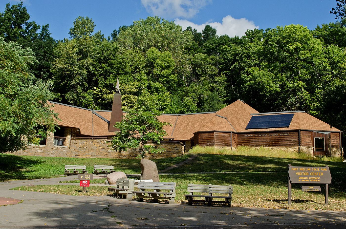
- Location
- Dakota County, Minnesota
- Nearest town
- 2 miles west of Mendota Heights
- Type
- State Park
About Fort Snelling State Park
The confluence of the Mississippi and Minnesota rivers forms the setting here, a spot the Mdewakanton Dakota people regard as the center of the Earth. Bottomland forest, backwater lakes, and river bluffs make up most of the protected land below the water's edge. Nearby stands the historic Fort Snelling, built in 1820 and run by the Minnesota Historical Society, and both the fort and surrounding park fall within the National Park Service's Mississippi National River and Recreation Area.
Hours, fees, camping, reservations and closures are set by the park and change often. Check the official park site before you go.
Getting there
Fort Snelling State Park is in Dakota County, Minnesota, 2 miles west of Mendota Heights. The Directions button takes you to the park's mapped location; the entrance may be elsewhere, so check the official site for the address to use.
State parks near Fort Snelling State Park
Within 60 miles, closest first, straight-line. All 73 in Minnesota →
 Afton State ParkState Park · Washington County, MN19 miE
 Kinnickinnic State ParkState Park · Pierce County, WI21 miE
 Willow River State ParkState Park · St. Croix County, WI26 miE
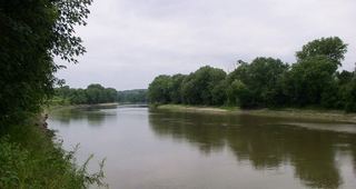 Minnesota Valley State Recreation AreaState Recreation Area · Scott County, MN30 miSW
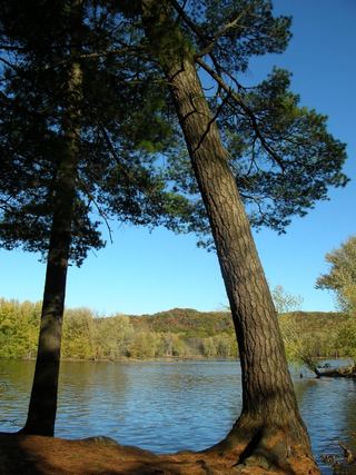 William O'Brien State ParkState Park · Washington County, MN31 miNE
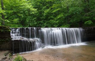 Nerstrand Big Woods State ParkState Park · Rice County, MN38 miS
- Interstate State ParkState Park · Chisago County, MN43 miNE
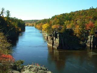 Interstate ParkState Park · Polk County, WI44 miNE
 Lake Maria State ParkState Park · Wright County, MN48 miNW
Towns near Fort Snelling State Park
State parks near Minneapolis, State parks near Woodbury, State parks near Lakeville, State parks near Shakopee, State parks near Andover, State parks near River Falls
Facts from Wikidata, checked September 25, 2026. Distances are straight-line.