State Park · Minnesota
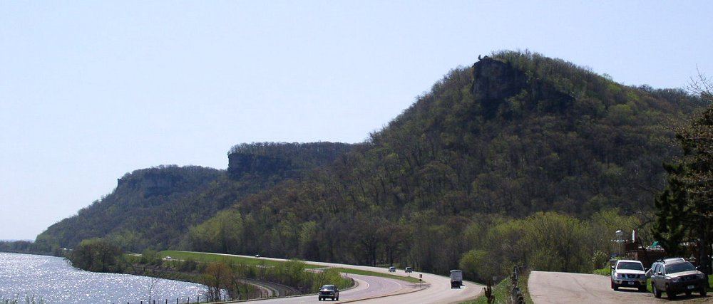
John A. Latsch State Park
- Location
- Winona County, Minnesota
- Nearest town
- 9.3 miles northwest of Goodview
- Type
- State Park
About John A. Latsch State Park
Three bluffs named Mount Faith, Mount Hope, and Mount Charity climb 500 feet above the Mississippi River here, forming the main feature of the land. The 1,654-acre property stays largely undeveloped, offering just a single trail and a small walk-in camping area rather than extensive facilities. U.S. Route 61 passes through, squeezed between the river and the bluffs, and the park serves mainly as a roadside stop along that highway. Lock and Dam No. 5 sits next to the property.
Hours, fees, camping, reservations and closures are set by the park and change often. Check the official park site before you go.
Getting there
John A. Latsch State Park is in Winona County, Minnesota, 9.3 miles northwest of Goodview. The Directions button takes you to the park's mapped location; the entrance may be elsewhere, so check the official site for the address to use.
State parks near John A. Latsch State Park
Within 60 miles, closest first, straight-line. All 73 in Minnesota →
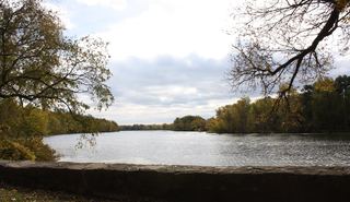 Merrick State ParkState Park · Buffalo County, WI3.4 miE
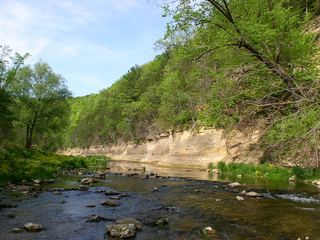 Whitewater State ParkState Park · Winona County, MN14 miSW
 Carley State ParkState Park · Wabasha County, MN18 miW
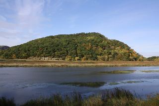 Perrot State ParkState Park · Trempealeau County, WI20 miSE
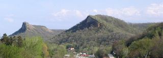 Great River Bluffs State ParkState Park · Winona County, MN26 miSE
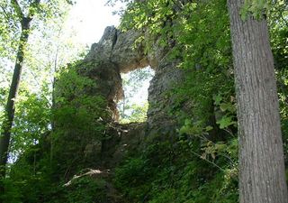 Frontenac State ParkState Park · Goodhue County, MN35 miNW
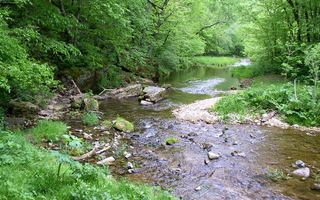 Beaver Creek Valley State ParkState Park · Houston County, MN37 miS
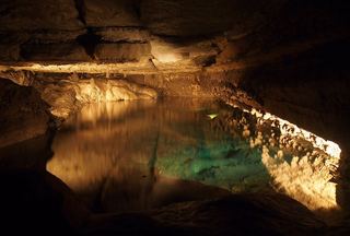 Forestville/Mystery Cave State ParkState Park · Fillmore County, MN41 miSW
 Lake Louise State ParkState Park · Mower County, MN56 miSW
Towns near John A. Latsch State Park
State parks near Winona, State parks near Rochester, State parks near La Crosse, State parks near Red Wing, State parks near Eau Claire, State parks near Menomonie
Facts from Wikidata, checked September 25, 2026. Distances are straight-line.