State Park · Missouri
Cuivre River State Park
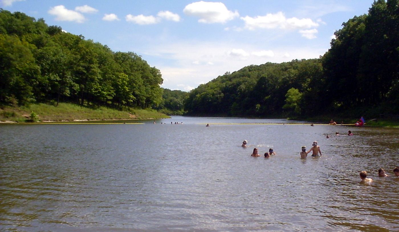
- Location
- Lincoln County, Missouri
- Nearest town
- 4.6 miles northeast of Troy
- Type
- State Park
About Cuivre River State Park
More than 6,400 acres of rugged terrain make up this preserve, spanning native grasslands, savannas, and limestone bluffs above forested hills in the Lincoln Hills region. It contains the Lincoln Hills Natural Area along with two designated wild areas, Big Sugar Creek and Northwoods. The grounds include an extensive network of hiking trails plus facilities for swimming and camping, managed by the Missouri Department of Natural Resources.
Hours, fees, camping, reservations and closures are set by the park and change often. Check the official park site before you go.
Getting there
Cuivre River State Park is in Lincoln County, Missouri, 4.6 miles northeast of Troy. The Directions button takes you to the park's mapped location; the entrance may be elsewhere, so check the official site for the address to use.
State parks near Cuivre River State Park
Within 60 miles, closest first, straight-line. All 73 in Missouri →
- Pere Marquette State ParkState Park · Jersey County, IL22 miE
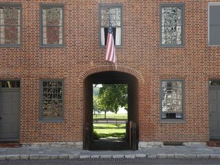 First Missouri State Capitol State Historic SiteState Historic Site · St. Charles County, MO30 miSE
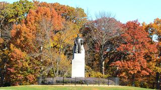 Babler State ParkState Park · St. Louis County, MO31 miSE
 Katy Trail State ParkState Park · St. Charles County, MO34 miE
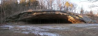 Graham Cave State ParkState Park · Montgomery County, MO36 miW
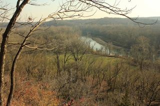 Castlewood State ParkState Park · St. Louis County, MO40 miSE
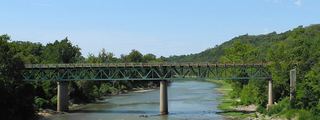 Route 66 State ParkState Park · St. Louis County, MO41 miSE
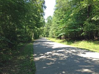 Robertsville State ParkState Park · Franklin County, MO43 miS
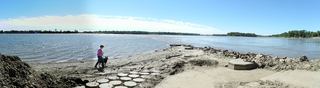 Jones-Confluence Point State ParkState Park · St. Charles County, MO46 miE
Towns near Cuivre River State Park
State parks near Troy, State parks near O'Fallon, State parks near Washington, State parks near Bridgeton, State parks near Wildwood, State parks near Upper Alton
Facts from Wikidata, checked September 25, 2026. Distances are straight-line.