State Historic Site · Missouri
Union Covered Bridge State Historic Site
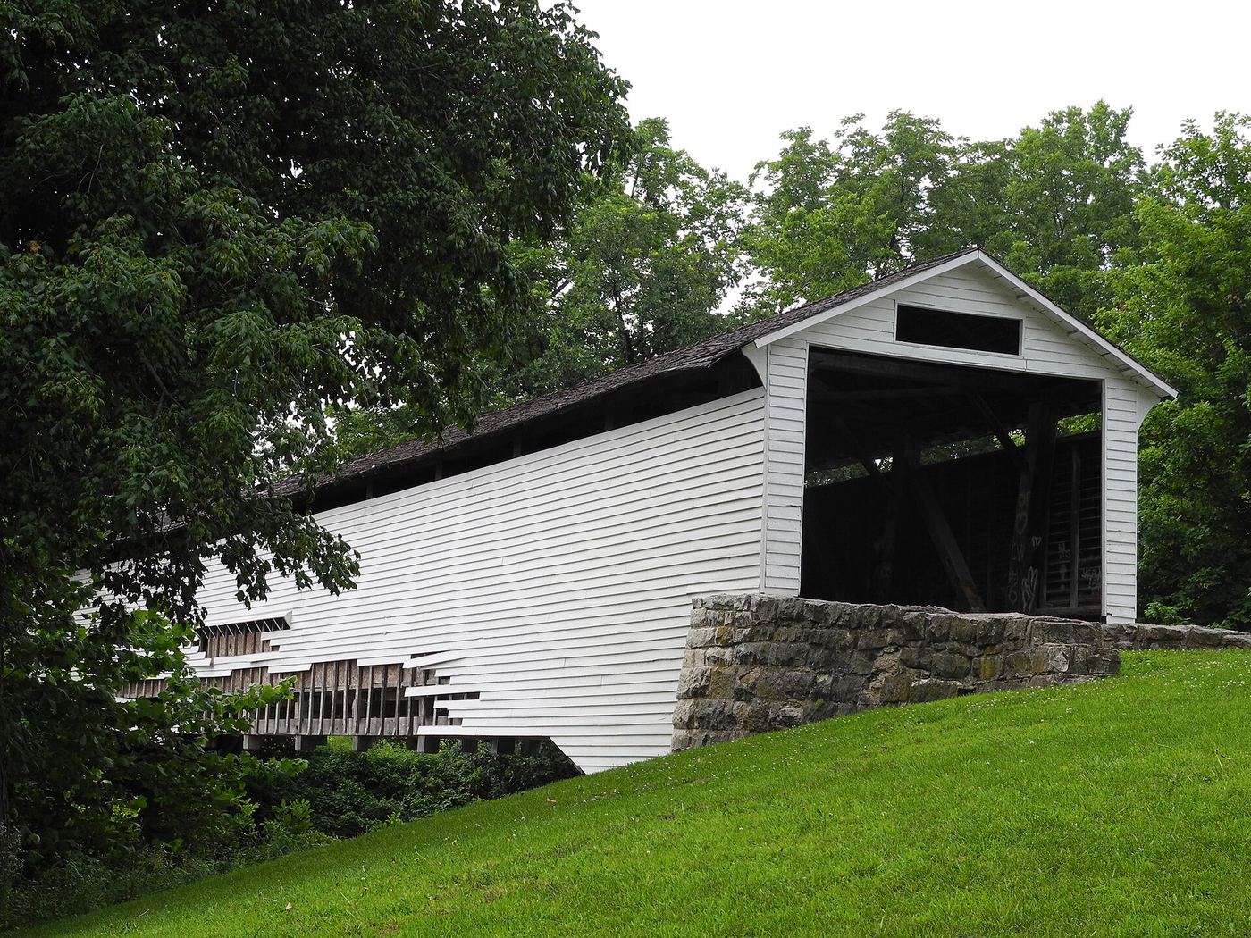
- Location
- Monroe County, Missouri
- Nearest town
- 6.3 miles southwest of Paris
- Type
- State Historic Site
About Union Covered Bridge State Historic Site
The Elk Fork of the Salt River runs beneath a Burr-arch truss covered bridge built in 1871, the structure this site was created to protect. The span has weathered repeated floods, including damage in the year it entered the state park system and again in 2008, with repairs each time, and it survived the Great Flood of 1993. Closed to vehicles since 1970 and listed on the National Register of Historic Places that same year, the bridge measures about 120 to 125 feet long, 12 feet high, and 17.5 feet wide.
Hours, fees, camping, reservations and closures are set by the park and change often. Check the official park site before you go.
Getting there
Union Covered Bridge State Historic Site is in Monroe County, Missouri, 6.3 miles southwest of Paris. The Directions button takes you to the park's mapped location; the entrance may be elsewhere, so check the official site for the address to use.
State parks near Union Covered Bridge State Historic Site
Within 60 miles, closest first, straight-line. All 73 in Missouri →
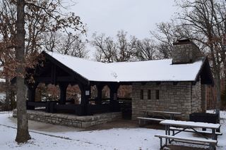 Mark Twain State ParkState Park · Monroe County, MO17 miE
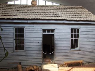 Mark Twain Birthplace State Historic SiteState Historic Site · Monroe County, MO17 miE
 Finger Lakes State ParkState Park · Boone County, MO26 miSW
 Long Branch State ParkState Park · Macon County, MO33 miNW
 Rock Bridge Memorial State ParkState Park · Boone County, MO40 miS
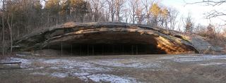 Graham Cave State ParkState Park · Montgomery County, MO46 miSE
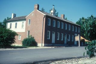 Arrow Rock State Historic SiteState Historic Site · Saline County, MO49 miW
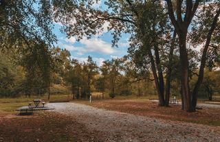 Wakonda State ParkState Park · Lewis County, MO50 miNE
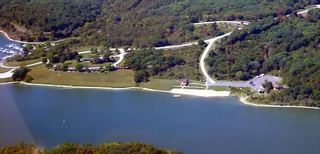 Thousand Hills State ParkState Park · Adair County, MO59 miNW
Towns near Union Covered Bridge State Historic Site
State parks near Moberly, State parks near Mexico, State parks near Columbia, State parks near Fulton, State parks near Hannibal
Facts from Wikidata, checked September 25, 2026. Distances are straight-line.