State Park · Missouri
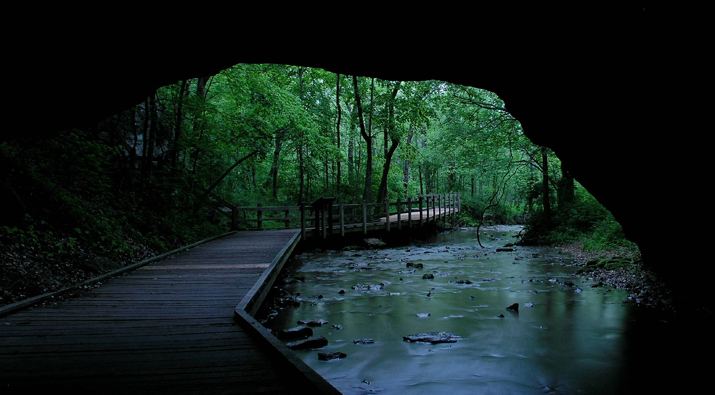
Rock Bridge Memorial State Park
- Location
- Boone County, Missouri
- Nearest town
- 4.9 miles south of Columbia
- Type
- State Park
About Rock Bridge Memorial State Park
A collapsed cave section formed the natural rock bridge that gives this park its name, spanning a creek within a landscape of sinkholes and underground drainage. The preserve covers 2,273 acres and contains 12 caves, including Devil's Icebox, known for its underground stream. It is the only known home of the pink planarian, a flatworm species found nowhere else.
Hours, fees, camping, reservations and closures are set by the park and change often. Check the official park site before you go.
Getting there
Rock Bridge Memorial State Park is in Boone County, Missouri, 4.9 miles south of Columbia. The Directions button takes you to the park's mapped location; the entrance may be elsewhere, so check the official site for the address to use.
State parks near Rock Bridge Memorial State Park
Within 60 miles, closest first, straight-line. All 73 in Missouri →
 Finger Lakes State ParkState Park · Boone County, MO15 miN
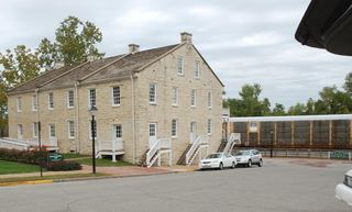 Jefferson Landing State Historic SiteState Historic Site · Cole County, MO22 miSE
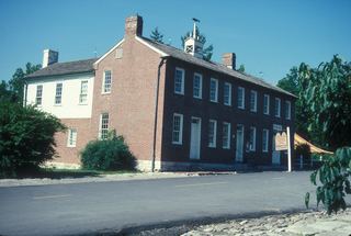 Arrow Rock State Historic SiteState Historic Site · Saline County, MO38 miNW
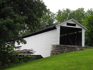 Union Covered Bridge State Historic SiteState Historic Site · Monroe County, MO40 miN
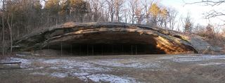 Graham Cave State ParkState Park · Montgomery County, MO41 miE
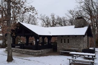 Mark Twain State ParkState Park · Monroe County, MO51 miNE
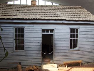 Mark Twain Birthplace State Historic SiteState Historic Site · Monroe County, MO51 miNE
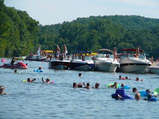 Lake of the Ozarks State ParkState Park · Camden County, MO56 miS
 Van Meter State ParkState Park · Saline County, MO57 miNW
Towns near Rock Bridge Memorial State Park
State parks near Columbia, State parks near Fulton, State parks near Jefferson City, State parks near Mexico, State parks near Moberly, State parks near Marshall
Facts from Wikidata, checked September 25, 2026. Distances are straight-line.