State Park · New Hampshire
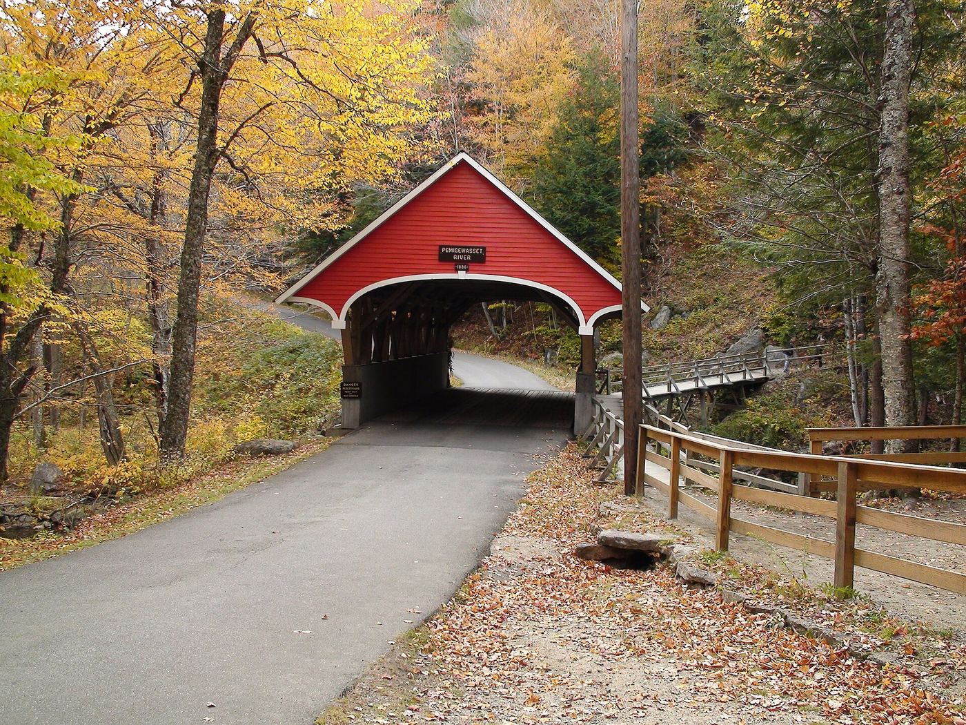
Franconia Notch State Park
- Location
- Grafton County, New Hampshire
- Nearest town
- 6.9 miles southwest of Deerfield
- Type
- State Park
About Franconia Notch State Park
A mountain pass between the Kinsman and Franconia Ranges carries eight miles of Interstate 93 through the middle of this preserve. The land includes Cannon Mountain, Echo and Profile lakes to the north, and Lonesome Lake and the Flume Gorge to the south, split between the towns of Franconia and Lincoln. Visitors can walk through the Flume Gorge visitor center, see the former site of the Old Man of the Mountain, fish at Echo and Profile lakes, or use trails set aside for hiking, biking, and skiing.
Hours, fees, camping, reservations and closures are set by the park and change often. Check the official park site before you go.
Getting there
Franconia Notch State Park is in Grafton County, New Hampshire, 6.9 miles southwest of Deerfield. The Directions button takes you to the park's mapped location; the entrance may be elsewhere, so check the official site for the address to use.
State parks near Franconia Notch State Park
Within 60 miles, closest first, straight-line. All 41 in New Hampshire →
 Crawford Notch State ParkState Park · Carroll County, NH14 miE
- Forest Lake State ParkState Park · Coos County, NH15 miN
- Lake Tarleton State ParkState Park · Grafton County, NH18 miSW
 Bedell Bridge State ParkState Park · Grafton County, NH20 miW
 Mount Washington State ParkState Park · Coos County, NH21 miNE
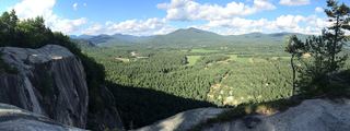 Echo Lake-Cathedral Ledge State ParkState Park · Carroll County, NH27 miE
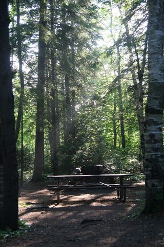 Moose Brook State ParkState Park · Coos County, NH29 miNE
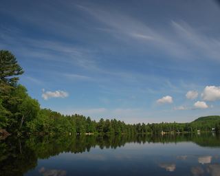 Ricker Pond State ParkState Park · Caledonia County, VT29 miW
- Boulder Beach State ParkState Park · Caledonia County, VT30 miW
Towns near Franconia Notch State Park
Facts from Wikidata, checked September 25, 2026. Distances are straight-line.