State Park · Pennsylvania
Samuel S. Lewis State Park
- Location
- York County, Pennsylvania
- Nearest town
- 2.3 miles southwest of Wrightsville
- Type
- State Park
About Samuel S. Lewis State Park
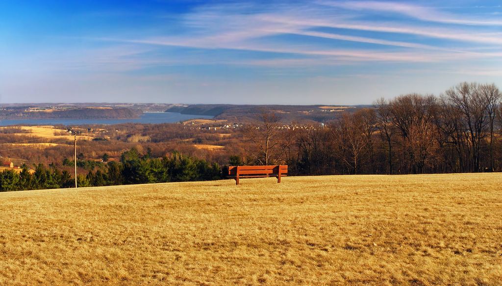
Mt. Pisgah, an 885-foot ridge, forms the main draw within this 85-acre tract in Lower Windsor Township. From an overlook near its summit, visitors can look out over the Susquehanna River Valley below. The ridge itself divides East Prospect Valley from Kreutz Creek Valley, and the grounds sit twelve miles east of York near US Highway 30.
Hours, fees, camping, reservations and closures are set by the park and change often. Check the official park site before you go.
Getting there
Samuel S. Lewis State Park is in York County, Pennsylvania, 2.3 miles southwest of Wrightsville. The Directions button takes you to the park's mapped location; the entrance may be elsewhere, so check the official site for the address to use.
State parks near Samuel S. Lewis State Park
Within 60 miles, closest first, straight-line. All 114 in Pennsylvania →
 Gifford Pinchot State ParkState Park · York County, PA19 miW
 Susquehannock State ParkState Park · Lancaster County, PA19 miSE
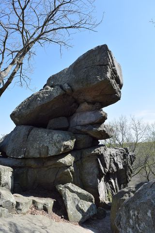 Rocks State ParkState Park · Harford County, MD26 miS
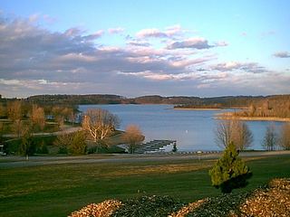 Codorus State ParkState Park · York County, PA26 miSW
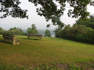 Memorial Lake State ParkState Park · Lebanon County, PA30 miN
- Palmer State ParkState Park · Harford County, MD30 miSE
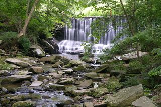 Susquehanna State ParkState Park · Harford County, MD34 miSE
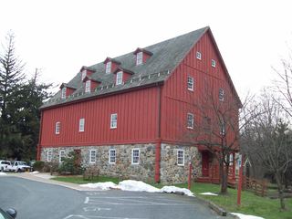 Gunpowder Falls State ParkState Park · Baltimore County, MD36 miS
 Swatara State ParkState Park · Schuylkill County, PA38 miN
Towns near Samuel S. Lewis State Park
State parks near York, State parks near Lancaster, State parks near Lebanon, State parks near Harrisburg, State parks near Hanover, State parks near South Bel Air
Facts from Wikidata, checked September 25, 2026. Distances are straight-line.