State Park · Tennessee
Red Clay State Park
- Location
- Bradley County, Tennessee
- Nearest town
- 4.8 miles southeast of Apison
- Type
- State Park
About Red Clay State Park
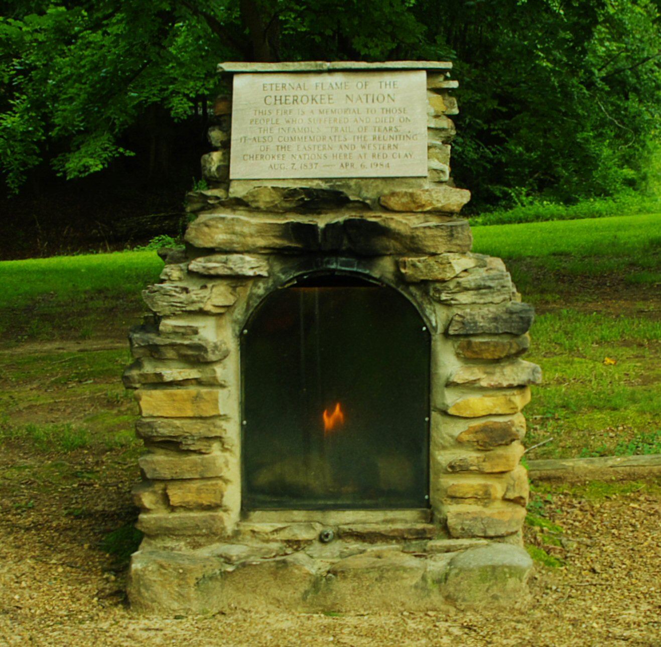
The council grounds here served as the last seat of Cherokee government in the eastern United States, used from 1832 to 1838 before federal removal policy forced most of the Cherokee people west to Oklahoma. Tribal leaders made repeated appeals from this location asking to stay on their homeland, and the grounds are regarded as sacred to the Cherokee. A large natural spring called Blue Hole Spring sits on the property, and the park serves as an interpretive stop along the Trail of Tears National Historic Trail.
Hours, fees, camping, reservations and closures are set by the park and change often. Check the official park site before you go.
Getting there
Red Clay State Park is in Bradley County, Tennessee, 4.8 miles southeast of Apison. The Directions button takes you to the park's mapped location; the entrance may be elsewhere, so check the official site for the address to use.
State parks near Red Clay State Park
Within 60 miles, closest first, straight-line. All 53 in Tennessee →
 Booker T. Washington State ParkState Park · Hamilton County, TN15 miNW
 Harrison Bay State ParkState Park · Hamilton County, TN16 miNW
 Fort Mountain State ParkState Park · Murray County, GA21 miSE
- Hiwassee/Ocoee Scenic River State ParkState Park · Polk County, TN30 miNE
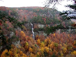 Cloudland Canyon State ParkState Park · Dade County, GA32 miW
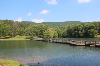 James H. Floyd State ParkState Park · Chattooga County, GA44 miSW
- Savage Gulf State ParkState Park · Grundy County, TN49 miNW
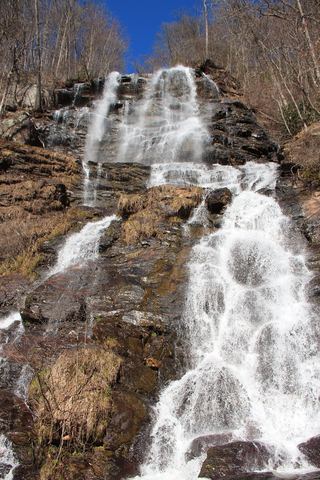 Amicalola Falls State ParkState Park · Dawson County, GA50 miSE
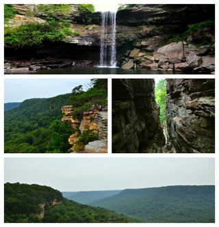 South Cumberland State ParkState Park · Grundy County, TN51 miW
Towns near Red Clay State Park
State parks near Cleveland, State parks near Dalton, State parks near Chattanooga, State parks near Calhoun, State parks near Athens
Facts from Wikidata, checked September 25, 2026. Distances are straight-line.